Hiking Senda de los Cazadores and Faja de Pelay in Ordesa
By Roberto (Jul 2026)
⏱️ 7 min
If you’re looking for the single best day hike in Spain, this is it. Senda de los Cazadores and Faja de Pelay combine into one loop with Cola de Caballo, that climbs out of the valley floor, traces a narrow balcony route, and finishes at one of the most photographed waterfalls in the Spanish Pyrenees: the Cola de Caballo. It’s not an easy walk, but it is, without much argument, the classic route in Ordesa y Monte Perdido National Park.
I’ve done this path twice and I wanted to provide useful information abut this hike in this guide. This post covers what the hike actually involves: the basic stats, how hard it really is, a full route description, and the practical tips that make the difference between a great day and a miserable one.
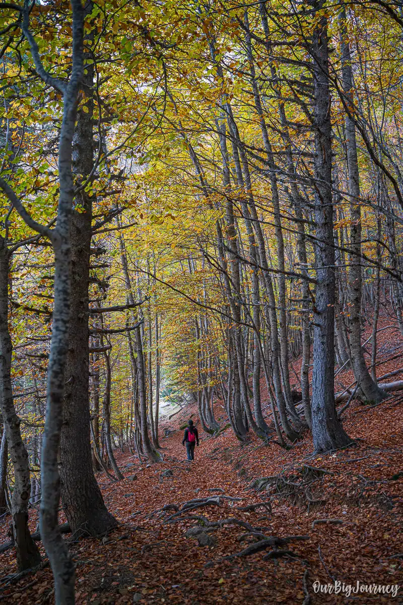
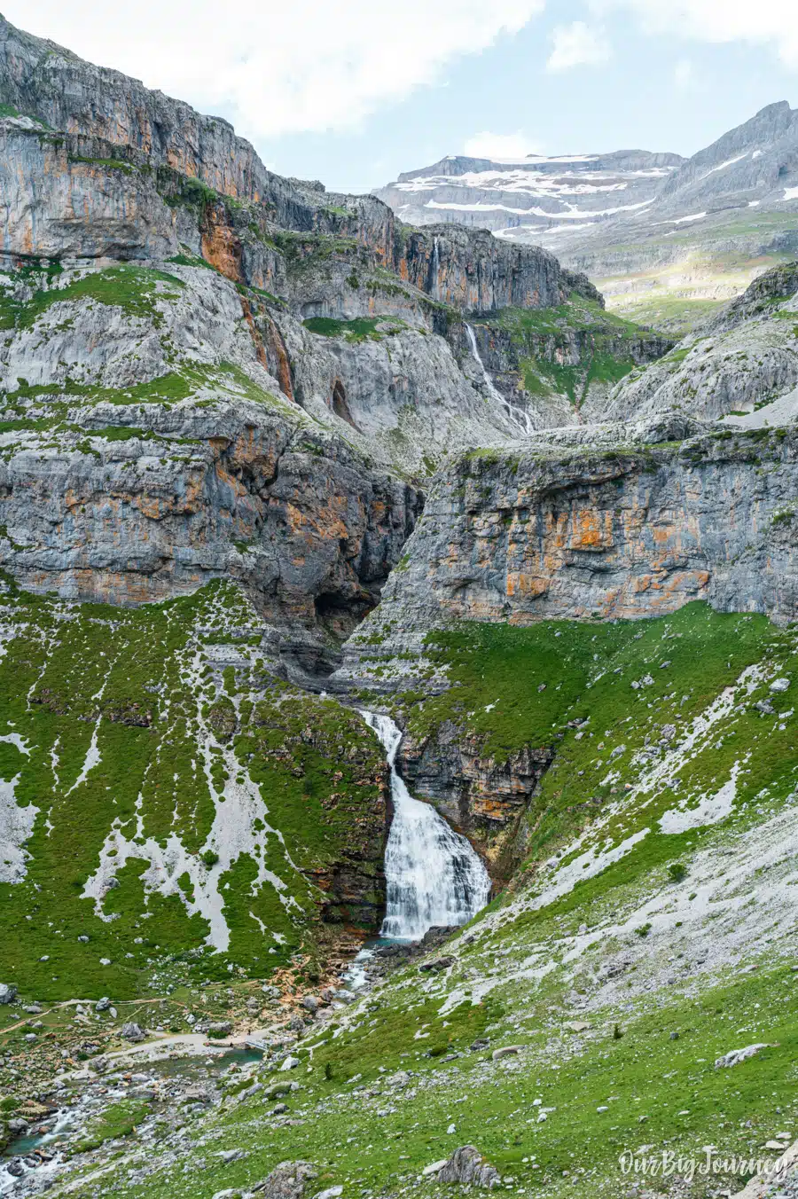
Table of Contents
Basic info about Senda de los Cazadores hike
- Location: Ordesa y Monte Perdido National Park, Huesca
- Trail type: Circular (loop), starting and ending at the Pradera de Ordesa parking.
- Distance: Around 19–20 km for the full loop
- Duration: 6 to 8 hours, depending on pace and how long you linger at the viewpoints
- Elevation gain: Roughly 650 metres in the first 2 km alone, with total cumulative gain over the day reaching 900–1,250 metres depending on whether or not you extend to Refugio de Góriz
- Highest point: Around 2,000–2,200 metres if you continue to the refuge
- Difficulty: Moderate to hard (we explain this later)
- Best season: Late spring through autumn. Super important. The route can be closed out of these seasons. Avoid the route after heavy rain, or if there’s snow or ice on the path, it’s dangerous and you’ll fall. You’re advised.
- Starting point: Pradera de Ordesa car park, reached by bus from Torla (private cars are not allowed into the valley in peak season)
How difficult is it, really?
Don’t let the “moderate” rating on some trail apps fool you. The honest answer is that this hike is front-loaded with almost all of its difficulty. Let me explain this.
The first 2 km out of the Pradera de Ordesa climb around 650 metres in a relentless series of zigzags through forest, with almost no flat sections and there is no real rest until you reach the Mirador de Calcilarruego. This is more than 1 hour going up in motion, roughly 1h 30 min. That’s a steep ascent by any standard, and it comes right at the start, before you’ve warmed up. Expect to stop for breath more than once even if you’re considerably fit. This is, after Rinjani, the highest up and up and up hill we’ve done.
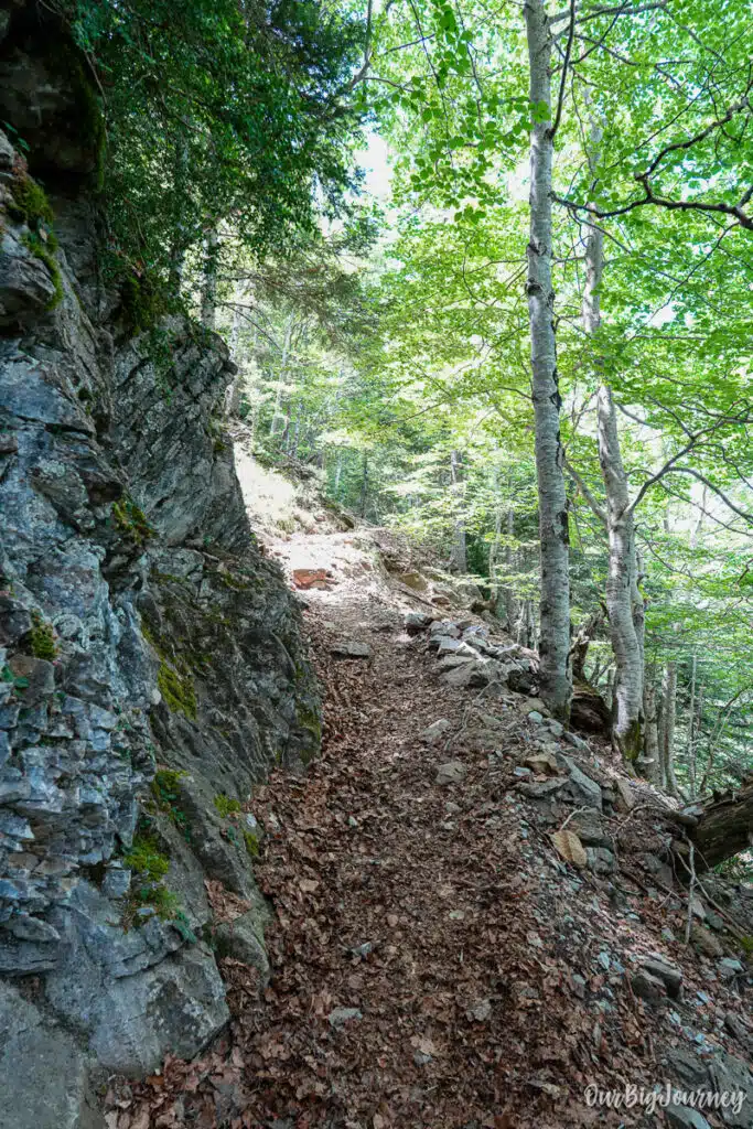
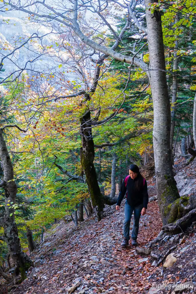
Once you’re up on the Faja de Pelay ledge, the difficulty changes a lot. The path is narrow, and runs along a shelf halfway up the canyon wall. It’s not technical (no scrambling or hands-on-rock sections), but it does require steady footing and a head for exposure. There are no escape routes once you’re committed to the ledge, so this isn’t a hike to start late in the day or abandon halfway.
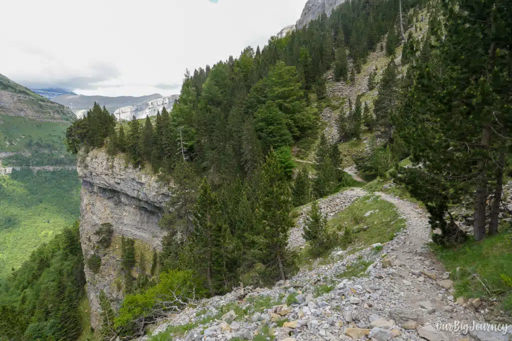
The descent to Cola de Caballo and the walk back along the valley floor are much gentler, but by that point you’ll have several hours and a lot of elevation change already in your legs.
In short: hard at the start, manageable in the middle, easy at the end. Good fitness and a slow, steady pace matter more than technical skill.
Route description
1. Pradera de Ordesa to the river crossing. From the car park, follow the paved path toward the valley trail, then turn right and cross the Río Arazas on a footbridge. Most day visitors continue straight ahead into the valley for the classic Cola de Caballo route. You’ll be turning off the main path here.
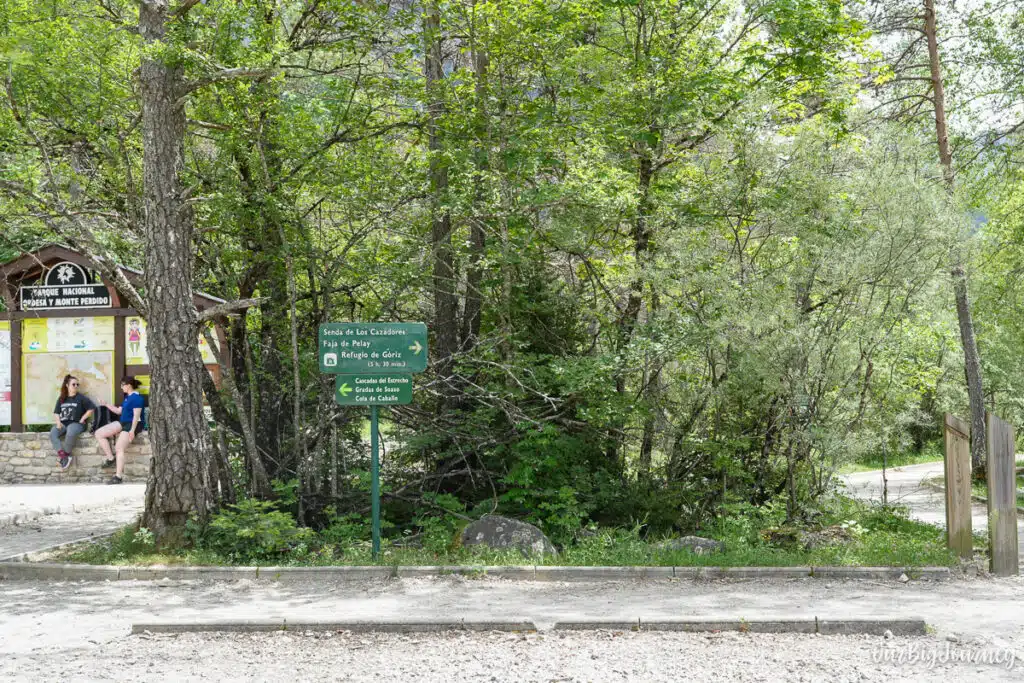
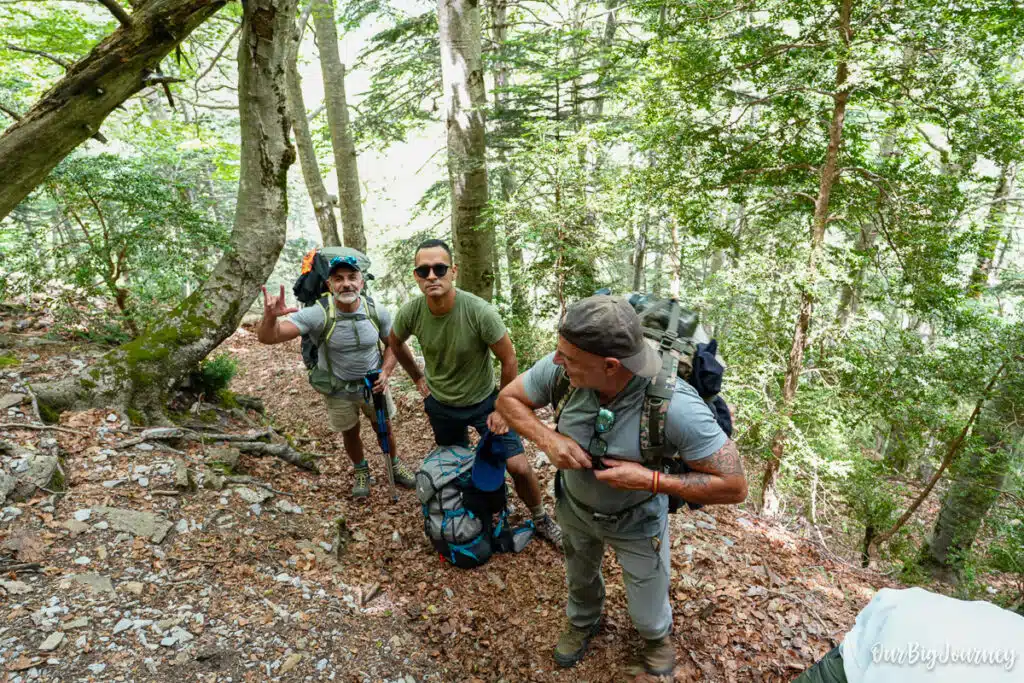
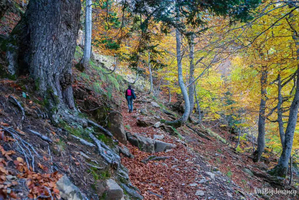
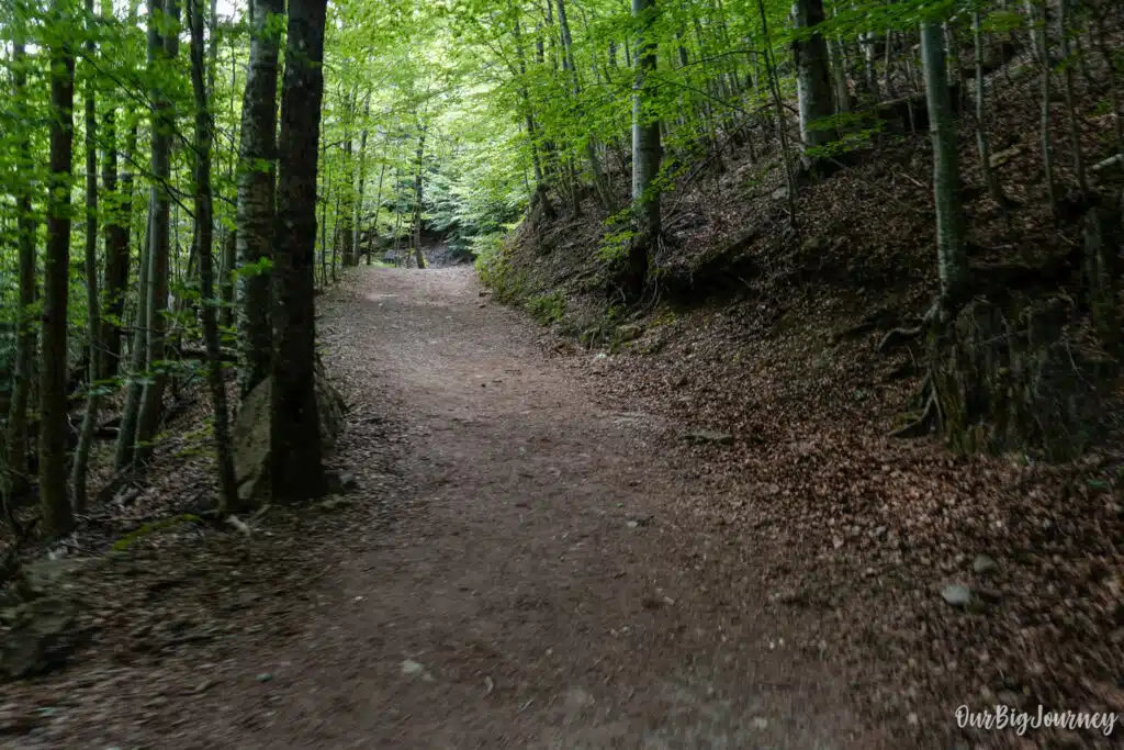
2. The climb: Senda de los Cazadores. A short distance past the bridge, leave the paved route and take the forest trail marked for Senda de los Cazadores and Faja de Pelay. This is where the hike earns its reputation. The path pitches upward almost immediately and switches back repeatedly beneath tree cover, gaining roughly 650 metres over about 2 km. It’s shaded for most of this stretch, which is a small mercy in summer.
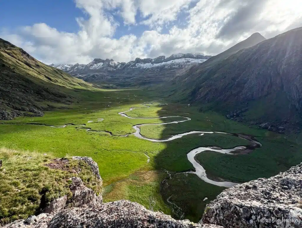
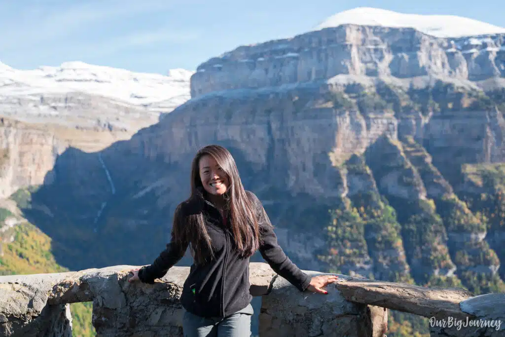
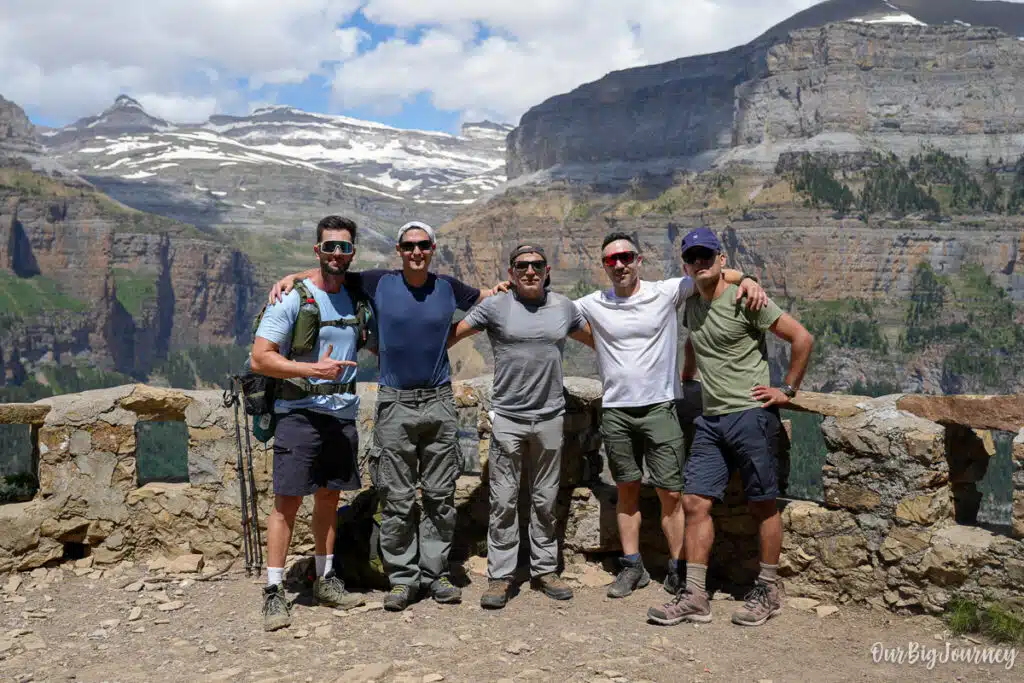
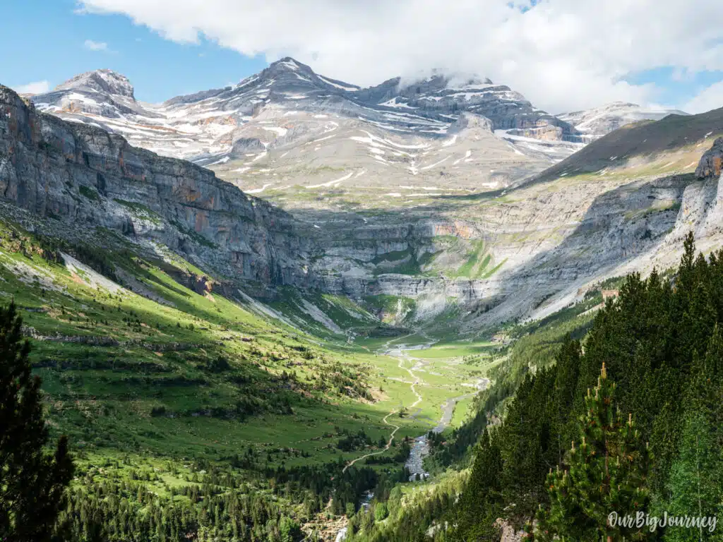
3. Mirador de Calcilarruego. The climb tops out at this viewpoint, and it’s worth every step. You get a sweeping view across to the Circo de Cotatuero and, for the first time, a real sense of the scale of the Ordesa Valley below you.
4. The Faja de Pelay ledge. From the viewpoint, the trail settles into a long, narrow balcony route that traces the canyon wall for several kilometres. This section is far gentler on the legs than the climb, but it demands attention underfoot, especially where the path narrows.
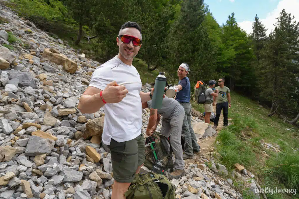
5. Descent to Circo de Soaso and Cola de Caballo. Eventually the ledge trail begins to drop back down toward the valley floor, delivering you at the Circo de Soaso and the Cola de Caballo waterfall, the horsetail-shaped cascade that marks the head of the valley. Many hikers stop here for lunch before the walk back.
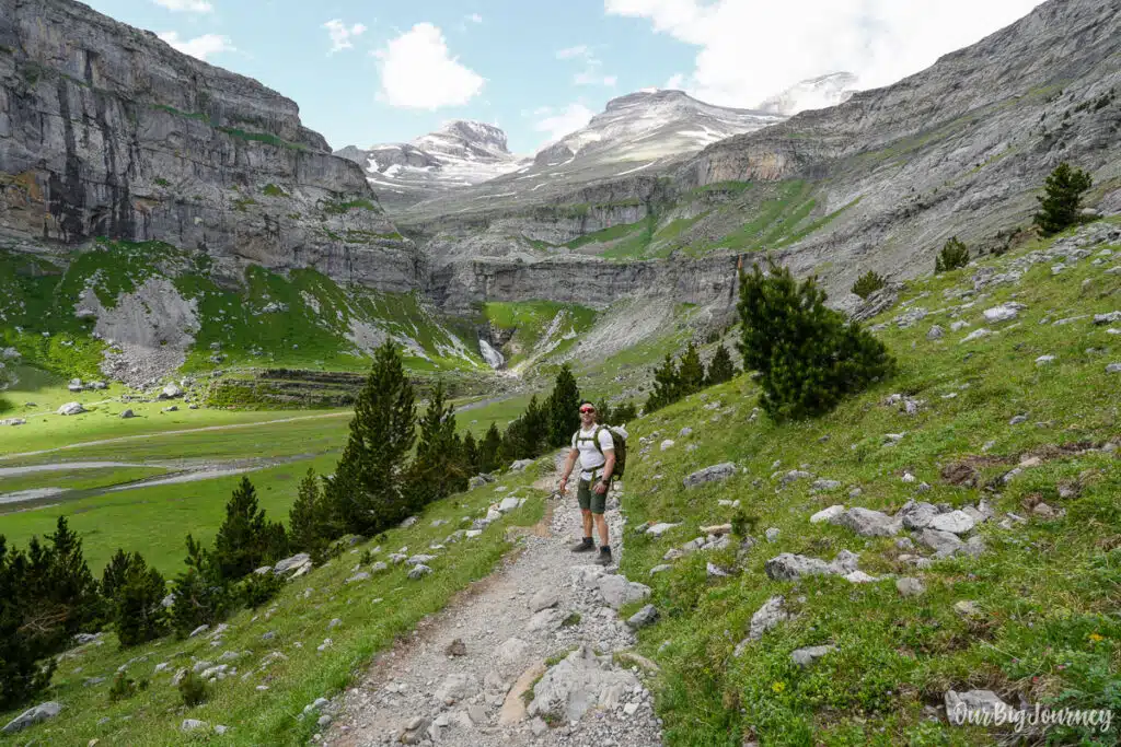
6. Optional extension to Refugio de Góriz. If you want more, the path continues up toward Refugio de Góriz, gaining further altitude toward Monte Perdido. This adds a significant amount of time and effort and is best treated as an overnight option rather than a same-day add-on unless you’re moving fast and starting early. The views on the way are… EPIC.
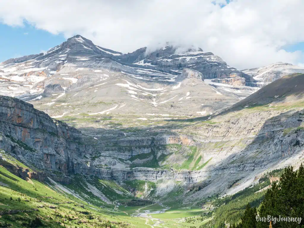
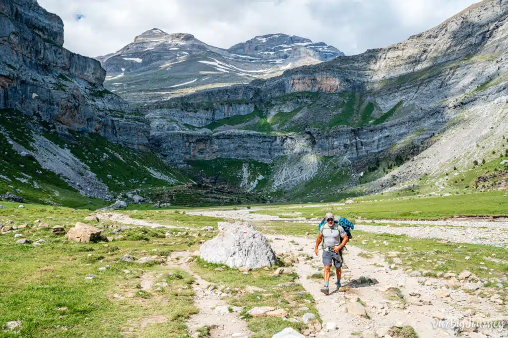
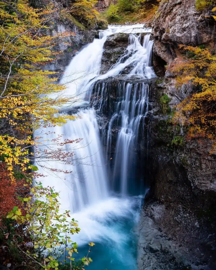
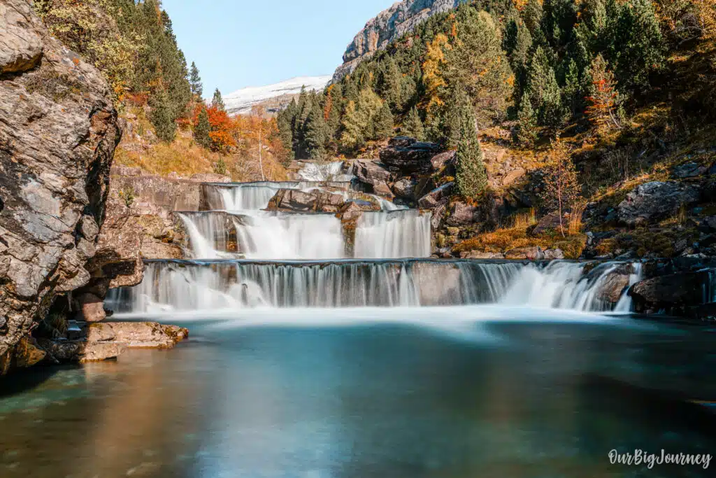
7. Return along the valley floor. From Cola de Caballo, the return leg follows the main Ordesa Valley trail back to the Pradera, passing a string of waterfalls along the Río Arazas. It’s flat and easy compared to everything that came before, and a good chance to enjoy the valley from below after seeing it from above.
Cola de Caballo (valley) vs Senda de los Cazadores
This is an interesting question, because each path has something to offer, if you ask me…and both are different.
Cola de Caballo through the valley
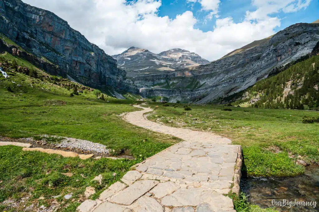
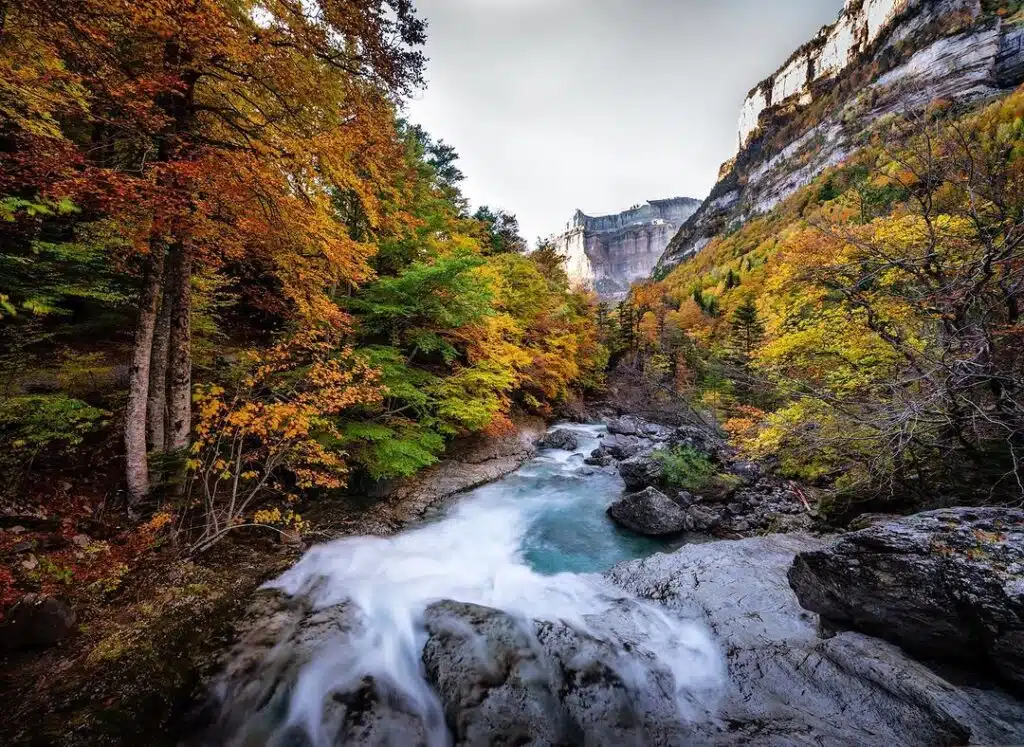
To me, after several times hiking here, the path through the valley is still unique. It starts with the forest and a gentle S-shape path that leads you to waterfalls, you hear the river, and there multiple spots to rest. It’s more enjoyable as a walk with plenty of things to see. Hard to say it’s more beautiful, but something unique is the feeling of entering the glaciar cirque from the bottom, and think you’re like an ant in there, so small, so… insignificant to nature. I love that feeling and I always get it when I go following the valley route.
Senda de los Cazadores – Faja de Pelay
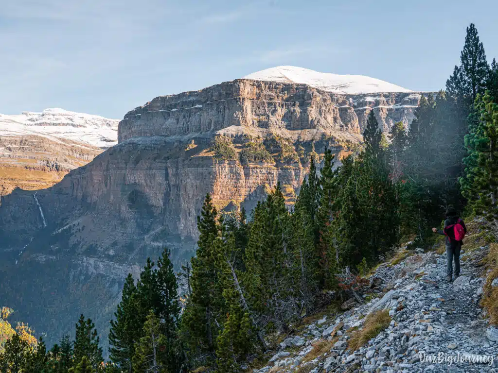
This hike start very different, with a demanding Z-shape 2 km hill. There are no rest areas or waterfalls or rivers, until you reach the lookout. So, for half of the time in the route you only see a hill in the forest. But then, you have amazing views of the rest of the path, and it offers the best views of the valley. Also, the second part follows an easy path where you can chill going down.
What’s better then?
- Normal route of the valley for a calm walk, with scenic views with water and a nice feeling towards the last waterfall.
- Take the Senda de los Cazadores if you want THE views of the valley, a more serious hike or something different.
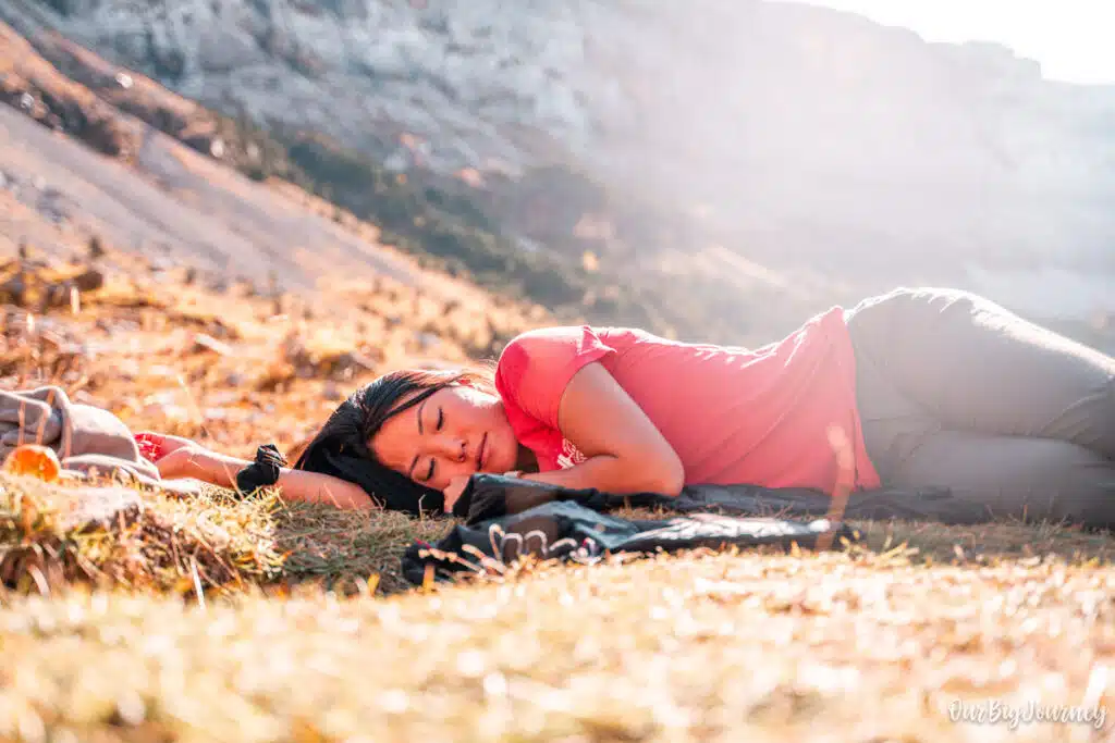
If you ask me: do the normal hike through the valley if it’s your first time, and do Senda de los Cazadores if you’ve already been there. This is my honest opinion. At the end, this is a hike to enjoy, breathe, admire nature and disconnect. I got the best views of the hike by the final waterfall, when Ellen “rested her eyes” for a few minutes. So, no matter the route, you are going to enjoy the hike!
Tips for hiking Senda de los Cazadores and Faja de Pelay
- Don’t start late. Once you’re on the Faja de Pelay there are no shortcuts back down, so leave yourself enough daylight to complete the full loop. The initial climb is exposed to the sun in parts and gets crowded later in the day. An early start also means better light for photos on the Faja de Pelay and a much better chance of spotting wildlife.
- Pace the climb. The first 2 km are the hardest part of the entire route. Go slowly, take breaks, and don’t be discouraged if you need to stop often.
- Check the weather and trail conditions first. This route is not recommended after heavy rain, or if there’s snow or ice anywhere on the path, given the exposure on the ledge section.
- Bring more water than you think you need. There’s little shade once you’re up on the ledge, and no reliable water sources until you’re back down near the valley floor.
- Use the bus from Torla. Private vehicle access to the Pradera de Ordesa is restricted during peak season, so check the current shuttle bus schedule before you go.
- Pack for a full day. With 6 to 8 hours on the trail and a lot of vertical, treat this as a serious hike, not a walk. Bring proper boots, layers, and a decent lunch.
Where to Stay to do Senda de Cazadores hike
The best town to stay in for the Ordesa Valley and do these hikes is Torla-Ordesa, located right at the gateway to the Ordesa sector of the National Park. Broto and Oto are also nice towns to stay next to Torla and even Fiscal. All the region is wonderful and the stores and food options are great.
Final Thoughts
Senda de los Cazadores and Faja de Pelay is demanding, but it rewards the effort with a view of the Ordesa Valley that almost nobody gets from the main valley trail. If you only have one day to hike in Ordesa and want to add a plus in your hike to Cola de Caballo, this is the route that earns it because it has it all.
Explore other places in The Pyrenees