Cola de Caballo in Ordesa Valley | Best Hike in Spain
By Roberto (Jul 2026)
⏱️ 12 min
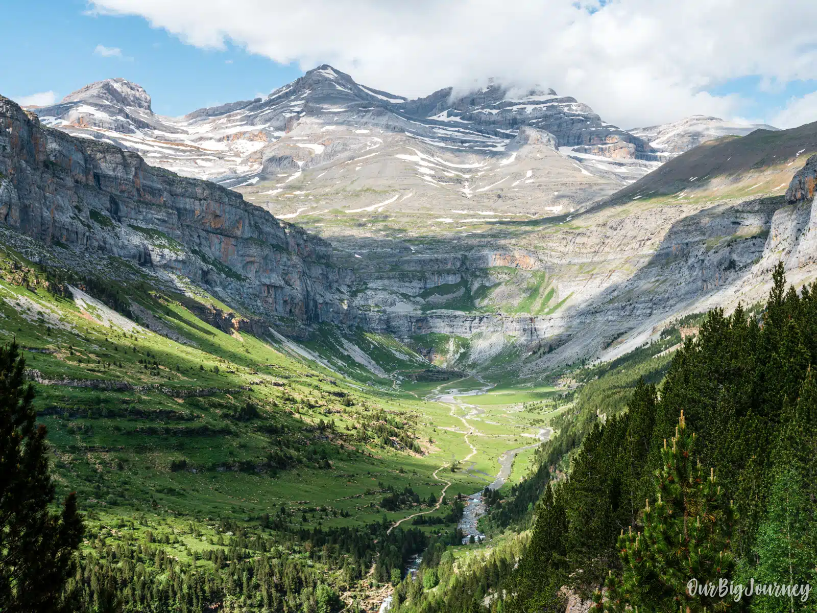
If there’s one hike in the Spanish Pyrenees that shows up on every “best trails in Spain” list, it’s the walk to Cola de Caballo in the Ordesa Valley. Named after the horsetail-shaped waterfall at the end of the trail, this route takes you through one of the most spectacular glacial valleys in Europe, past a string of waterfalls, beech forests and limestone walls, before finishing at the foot of Monte Perdido, a 3000 meters mountain.
I’ve hiked Cola de Caballo 6 times in my life, and I know I’ll do it again. To me Cola de Caballlo is the best hike in Spain that can be done in one single day, and it’s easy to see why this hike in Ordesa considered one of the top hikes in Spain. Here’s everything you need to know before you go: difficulty, stats, parking, whether it’s kid-friendly, and the best time of year to do it.
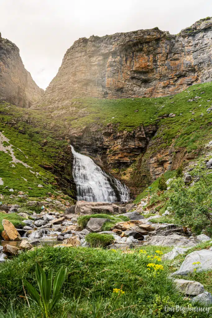
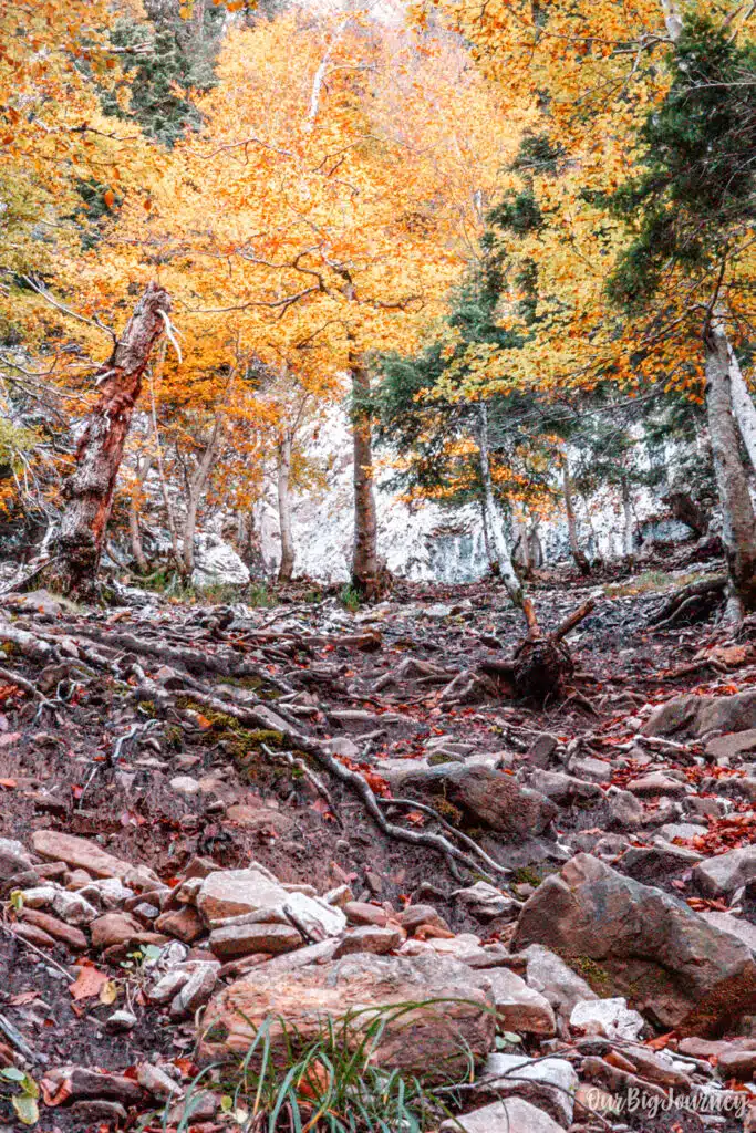
Table of Contents
What Is the Cola de Caballo Hike?
The Cola de Caballo is a trail located inside Ordesa y Monte Perdido National Park, arguably one of the best Natural Parks in Spain. The track follows the Arazas River upstream through the Ordesa Valley. Along the way you’ll pass waterfalls, the Gradas de Soaso (a staircase of cascades), and open mountain meadows, before reaching the Circo de Soaso, where the Cola de Caballo waterfall drops from the cliffs above.
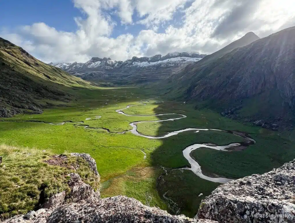
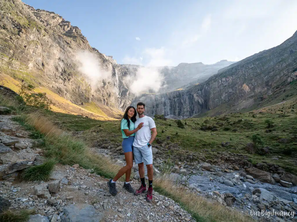
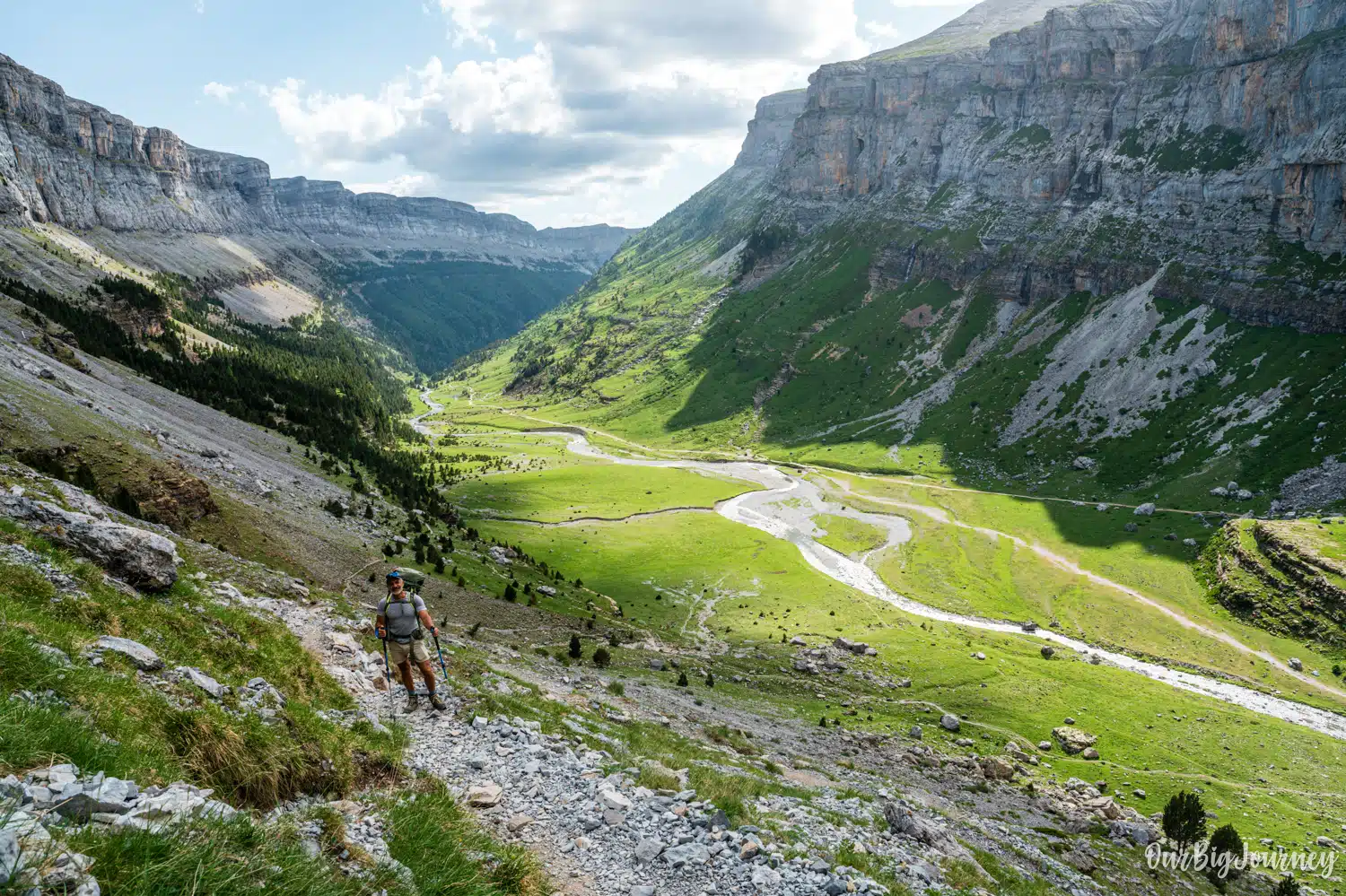
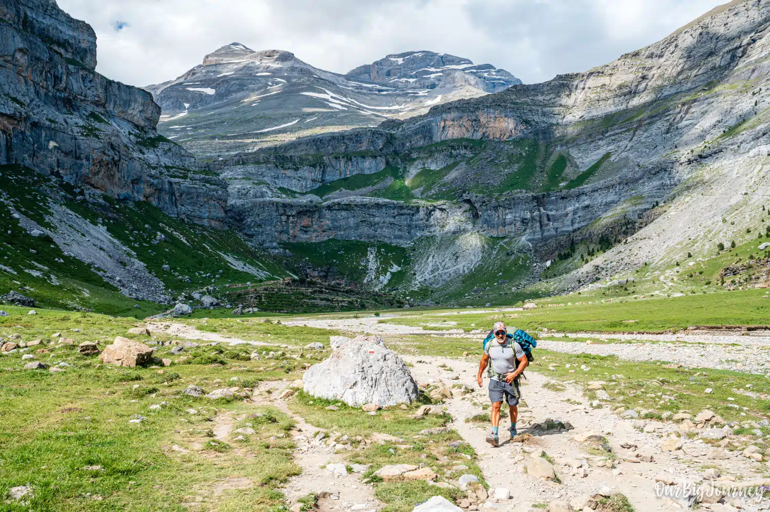
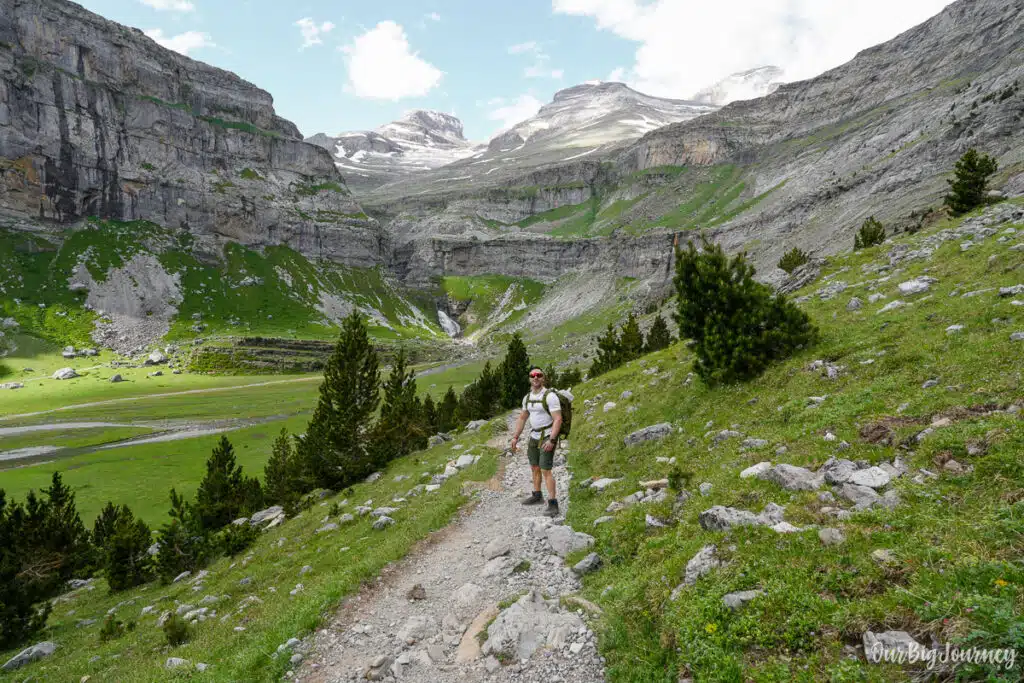
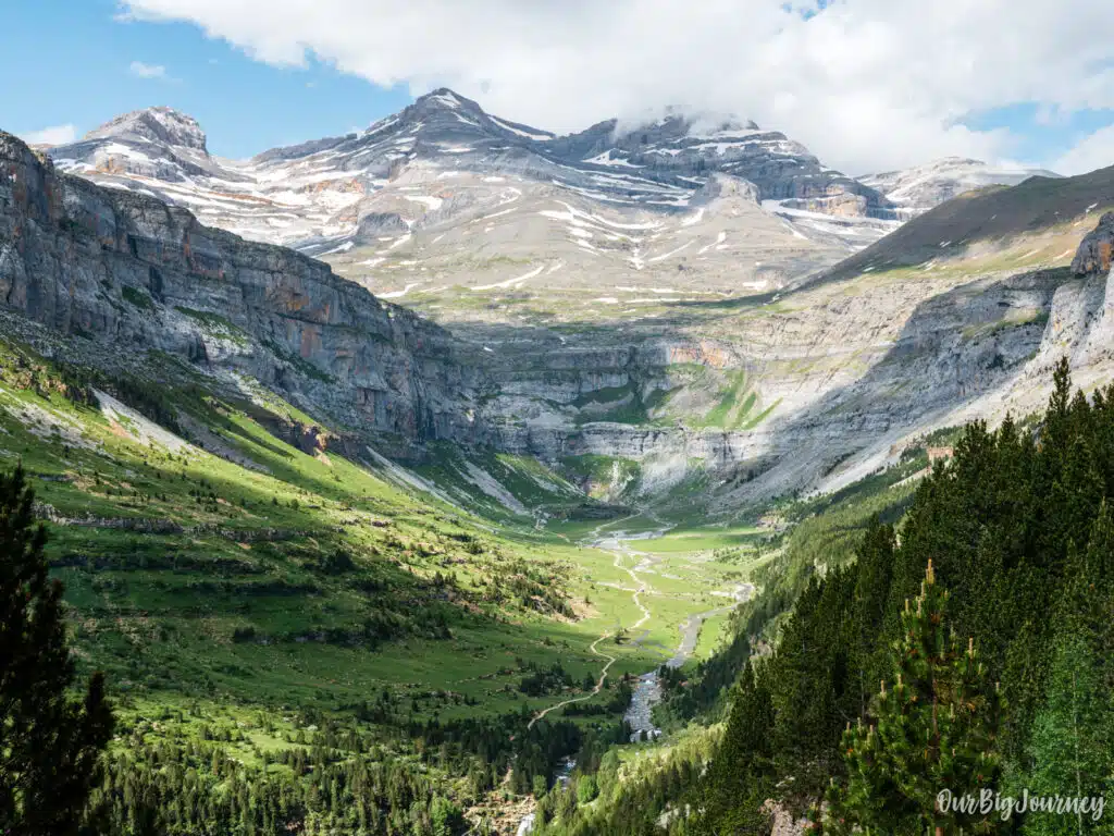
The hike divides into three clearly differentiated parts: a zig-zag through forest and waterfalls, the Gradas de Soaso and a final part at the glacial cirque, where the views are jaw dropping. I’m not lying when I say I can still close my eyes and remember the feeling of the first time I went there. I think I was 13-14 yo, and we did an excursion with my class there. The views of the glaciar valley with little cascades on both sides, cows eating, grass everywhere and mountains around the glaciar valley that make you feel like a little ant. I couldn’t recommend this hike more.
Stats about Cola de Caballo Hike
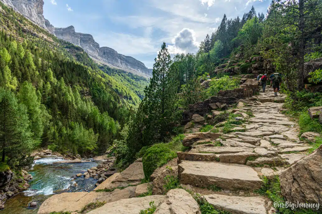
The route is an in and out trail that follows the GR-11 long-distance path, so it’s clearly marked the whole way with red and white signs. There is another way to reach the Cola de Caballo, through Senda de los Cazadores, that’s a variation of the hike, with much more elevation and (for some) greater views. We dedicate a full post to this other option below.
- Distance: Around 18 km round trip, depending on the exact variant you take
- Elevation gain: 500 meters
- Starting altitude: 1,300 m (Pradera de Ordesa parking)
- Highest point: Around 1,800 m (Cola de Caballo waterfall)
- Walking time: Approximately 5:30–6 hours total, not counting stops (about 3 hours up, 2:30–3 hours back). People usually spend a full chill day here.
- Trail type: Linear (out-and-back), following the GR-11, unless you do the Senda de los Cazadores
- Terrain: Wide dirt track for the first half, narrower path through mountain meadows for the second half
- Can be done with dogs: Yes, leashed
- Can be done with kids: Yes, leashed 😋 (joking). Yes, if they can walk the distance, but there is much to enjoy in the path and the final gratification of the views and the waterfall at the very end, are rewarding.
- Can be done with a baby carrier: Absolutely.
This isn’t a short hike, but it’s also not technical. Expect a full day walking, taking breaks and enjoying nature.
Difficulty: Is Cola de Caballo Hard?
We would consider the hike easy, but most people rate the Cola de Caballo route as moderate, mostly because of its length rather than technical difficulty. There’s no scrambling, no exposure, and no need for climbing gear. It’s a well maintained path the entire way.
That said, a few things push it up from “easy” to “moderate”:
- The total distance (17–19 km) adds up over a full morning / day
- The final stretch to the waterfall is narrower and less shaded. It gets hot during the summer months
- Weather in the Pyrenees can change fast, even in summer
- There’s minimal shade for parts of the return leg
If you’re a reasonably fit or active person, you’ll be totally fine. If you’re less experienced, we recommend you to budget extra time, start early, and don’t underestimate how tiring the return leg feels after a full day on your feet.
Is Cola de Caballo Good With Kids?
Yes, with some caveats. The trail is one of the most family friendly long hikes in the Pyrenees, mainly because the path is wide, well signposted, and free of technical sections. Families regularly complete the full route with children as young as 7 or 8.
A few tips if you’re hiking Cola de Caballo with kids:
- The distance is the main challenge, not the terrain. Pace yourself and plan for a slower overall time
- There are several waterfalls and river spots along the way that make natural rest stops and keep kids entertained
- The route is not suitable for strollers, so younger children will need to walk or be carried
- If you’re hiking with a baby, a hiking carrier works well. We’ve done similar hikes with a baby in a carrier in the Dolomites without problem.
- Pack more water and snacks than you think you’ll need, and build in extra buffer time for breaks. There is no restaurant or shelter along the way or anything similar.
For families with younger children who don’t want to attempt the full 17+ km, an easy alternative is walking partway up the valley to the first waterfalls (Cascada de la Cueva or Cascada del Estrecho) and turning back. You’ll still get some of the scenery without the full commitment. You will although, lose all the epic views of the glaciar part.
How to Get to Cola de Caballo
This is important! The hike starts at the Pradera de Ordesa, inside the national park, about 8 km from the village of Torla-Ordesa. How you get there depends on the season.
- Summer, Easter week, and some autumn weekends: Private cars are not allowed up to the Pradera de Ordesa. You’ll need to take the official shuttle bus from the Visitor Centre in Torla.
- Rest of the year (low season): You can drive directly to the Pradera de Ordesa car park, conditions permitting. In winter, access can occasionally be restricted due to avalanche risk, so it’s worth checking conditions in advance.
- Walking from Torla. This is simple but demanding. I’ve done the extra walk from Torla to Ordesa Parking, and it adds more than 5 km to the route (and more than 1 hour). But if you go on a weekend where the parking is closed or full and there is no shuttle bus (this may happen in extraordinary moments, but it is not normal) this is the only way.
Parking at Ordesa
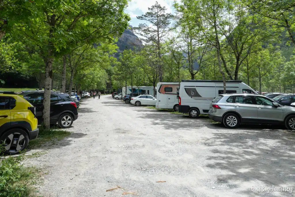
Parking is one of the most important logistics to plan around, especially in high season:
- In summer and peak periods: Cars cannot park at the Pradera de Ordesa. Instead, you’ll park in Torla (either at the Visitor Centre or designated lots) and take the shuttle bus for the final stretch.
- Bus cost: Around 6€ round trip per adult, with free travel for children under 10 (you may need to show ID/proof of age).
- Buy tickets early: Tickets can be purchased at the bus stop kiosk, in accommodations around Torla, or at the restaurant in the Pradera itself on the way down. Buying in advance helps you avoid long queues at the ticket booth.
- Low season: If you’re visiting outside the restricted dates, you can drive straight to the Pradera de Ordesa car park. Just note that spaces can still fill up on busy weekends even outside summer. This is probably the busiest hike in the Pyrenees
If you’re arriving without a car reservation for the shuttle, arrive early. Buses can have long queues during peak summer mornings.
When to Go: Best Time to Hike Cola de Caballo
I’ve experienced The Cola de Caballo trail in spring, summer, autumn and winter. So I can provide a really good opinion on this. Here’s how the seasons compare:
- Summer (June–September): The most popular time, with the longest daylight hours and reliably clear trails. Expect crowds and mandatory shuttle buses. Water feels refreshing and chances of rain are very low.
- Spring (May–June): Waterfalls are at their most powerful thanks to snowmelt, and the valley is lush and green. Fewer crowds than summer, though some high sections may still have leftover snow early in the season.
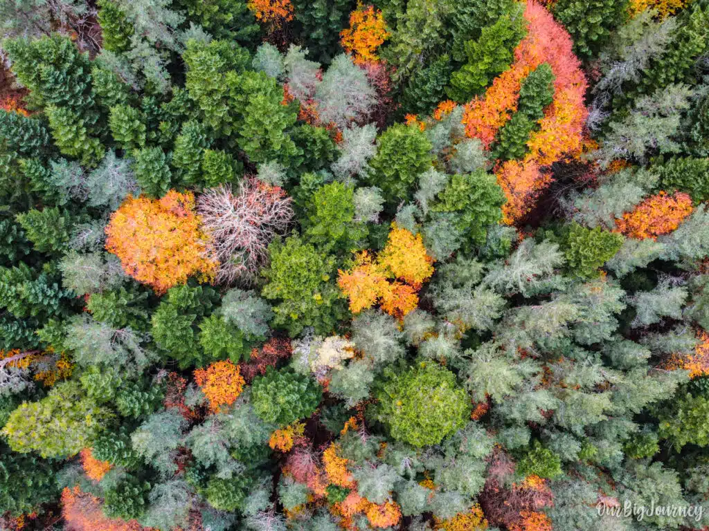
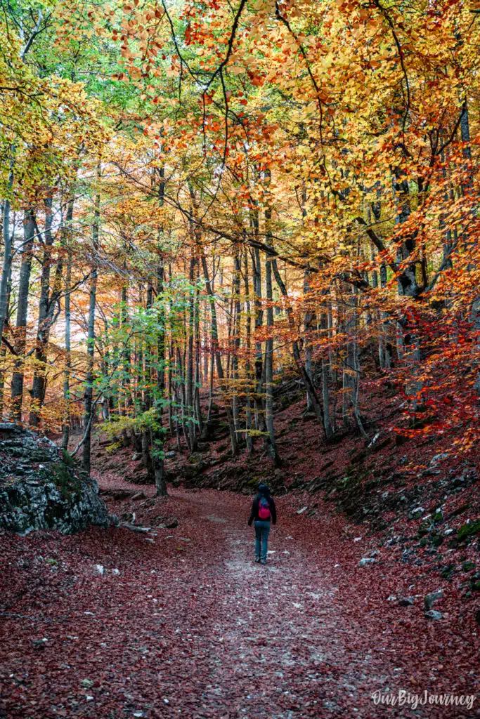
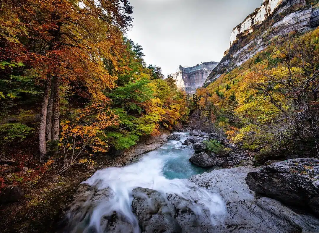
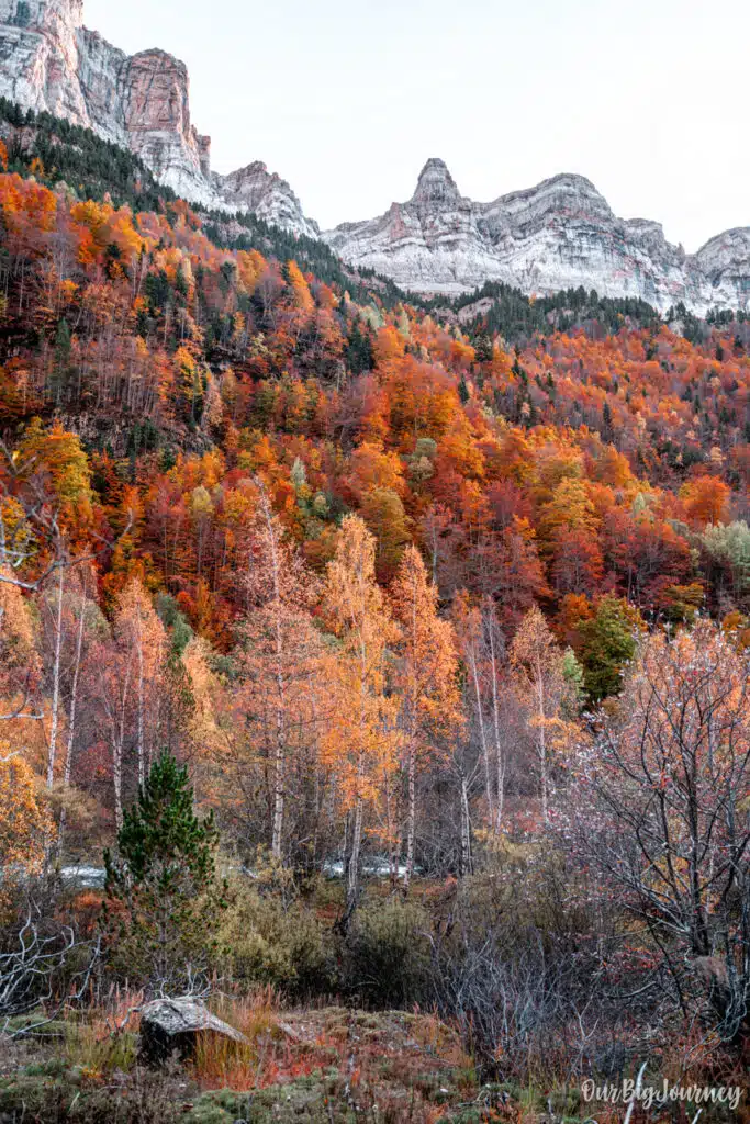
- Autumn (September–October): A great alternative to summer, with cooler temperatures, beautiful autumn colours in the beech forests, and noticeably fewer visitors, especially on weekdays. The colours are spectacular but there are more chances of rain.
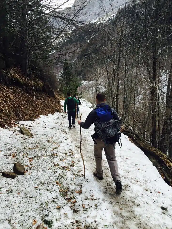
- Winter: Not recommended for most hikers. Snow and avalanche risk can restrict access, and the trail conditions become significantly more demanding.
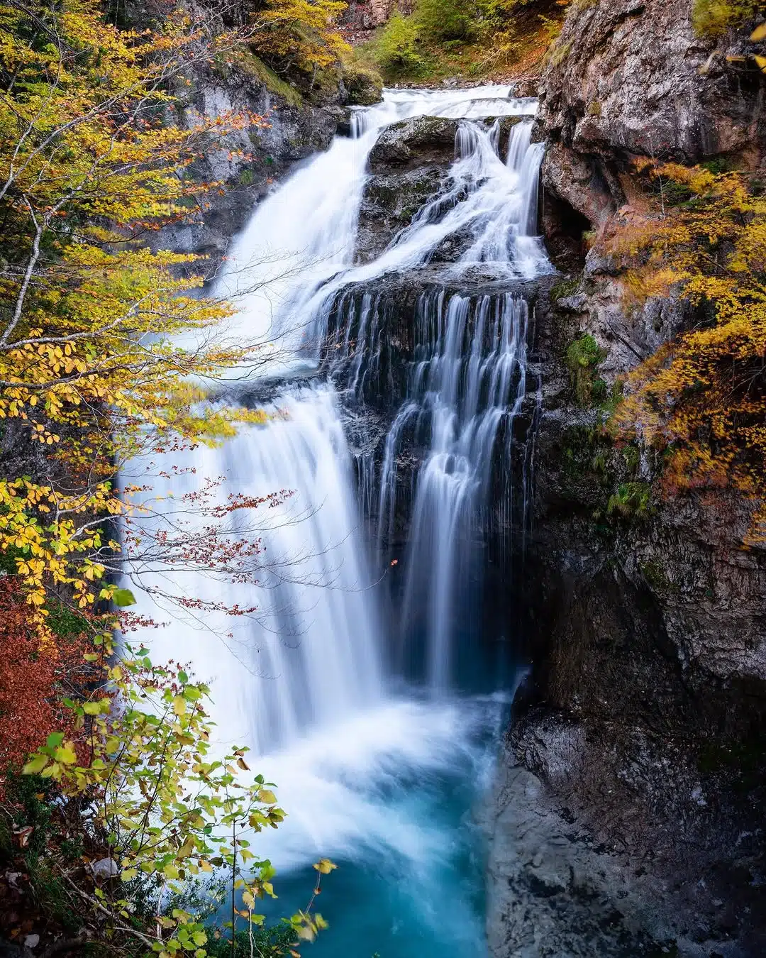
Our recommendation: June is probably the best month for sun and long light days, without crowds and low chances of rain. It’s also a good moment if you plan to hike a high summit like Monte Perdido or reach Refugio de Goriz for even better views of the valley. For photos, the best moment is probably October, with tons of colours, from yellows to reds, and still nice weather.
Describing (a bit) the Hike of Cola de Caballo
Without giving giving too much info and photos, because the beauty of this valley has to be explored, not just checked in a blog, I’ll summarise how the hike to Cola de Caballo is.
From Parking to Cascada de la Cueva.
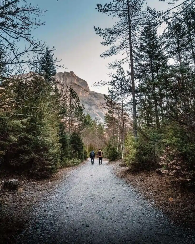
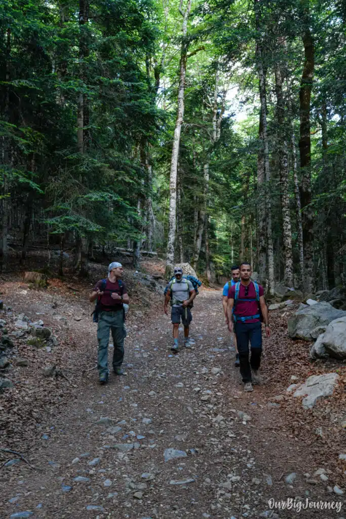
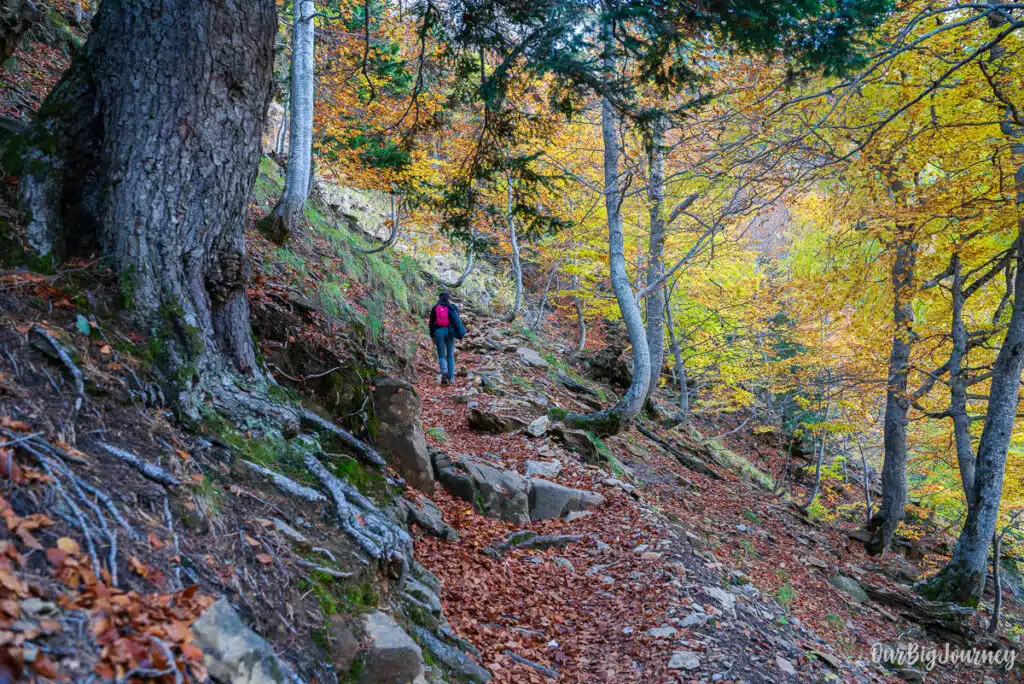
In this part, the path is wide and goes through beech forests. There is more shade than the other parts and it’s a nice warm up for what’s coming next. This part in autumn is much more beautiful than the rest of the year. After 1 hour or so, you arrive to Cascada de la Cueva, a lovely waterfall that has water year round.
From Cascada de la Cueva to Gradas de Soaso.
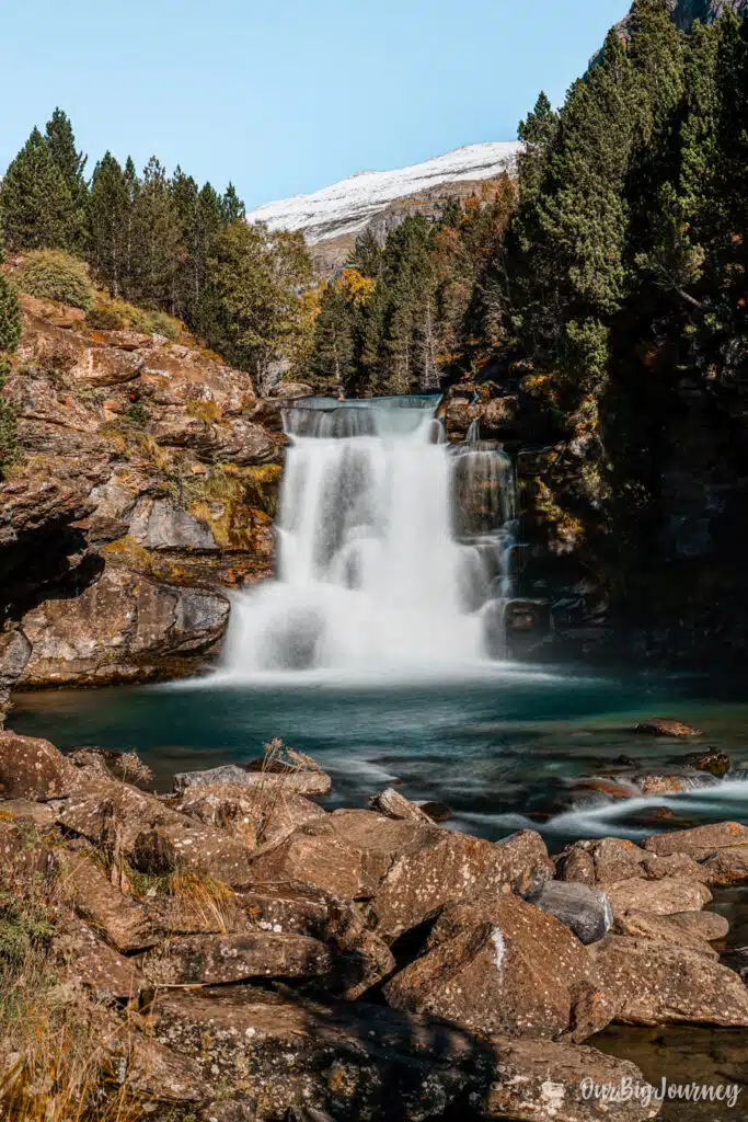
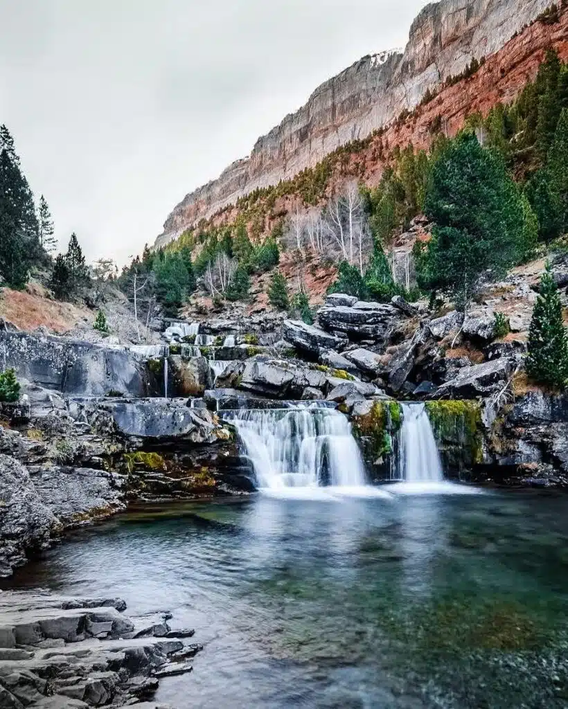
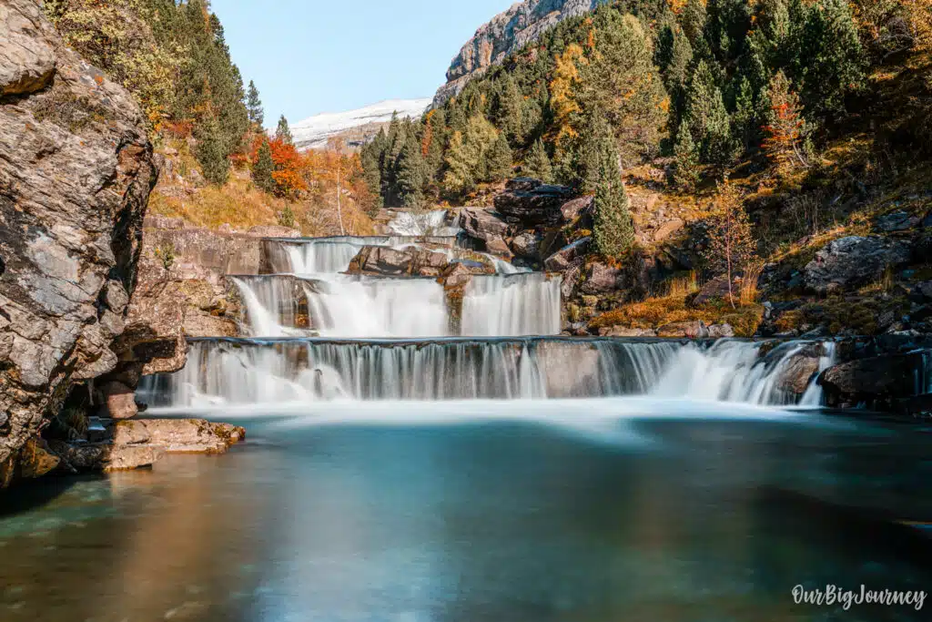
In this part, the forest starts to stay behind and water is more visible since the path goes following Arazas river. You can admire the cliffs surrounding and start to have an idea about the dimensions of the valley. After 1 hour from Cascada de la Cueva, you’ll reach Gradas de Soaso, a stunning series of cascading, stair-step waterfalls that are magnificent for photography. No wonder why several photography guides bring people here.
From Gradas de Soaso to Cola de Caballo.
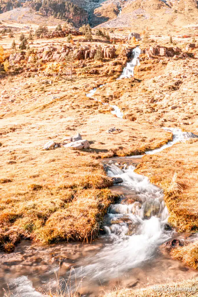
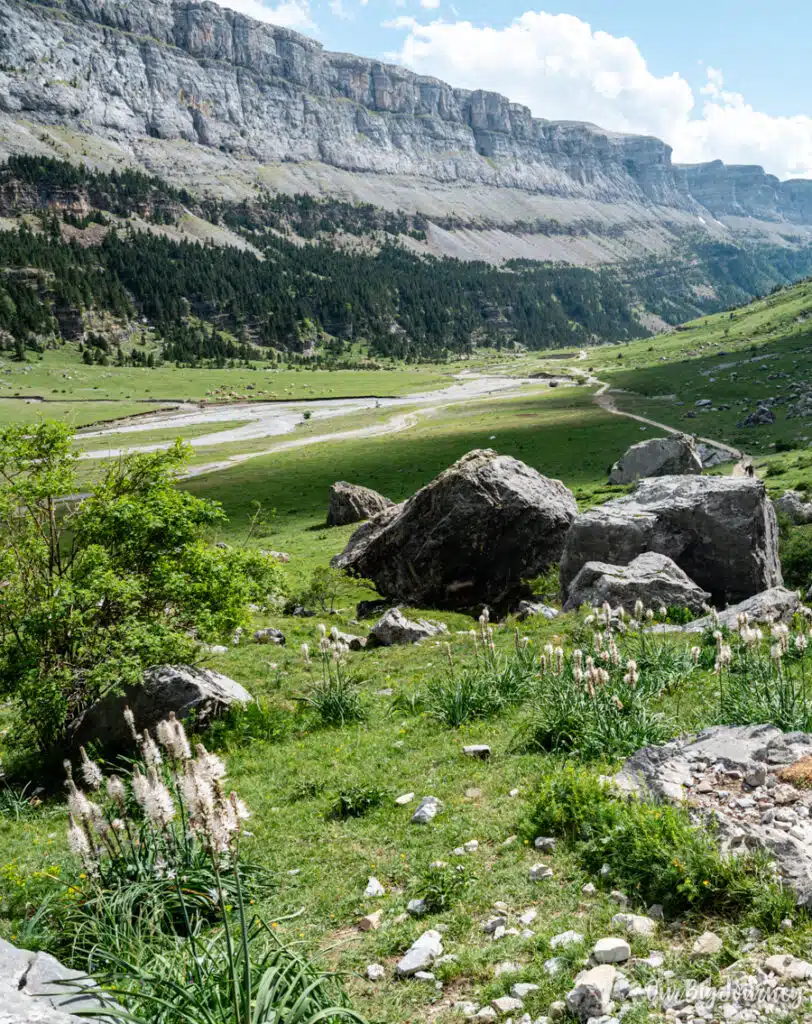
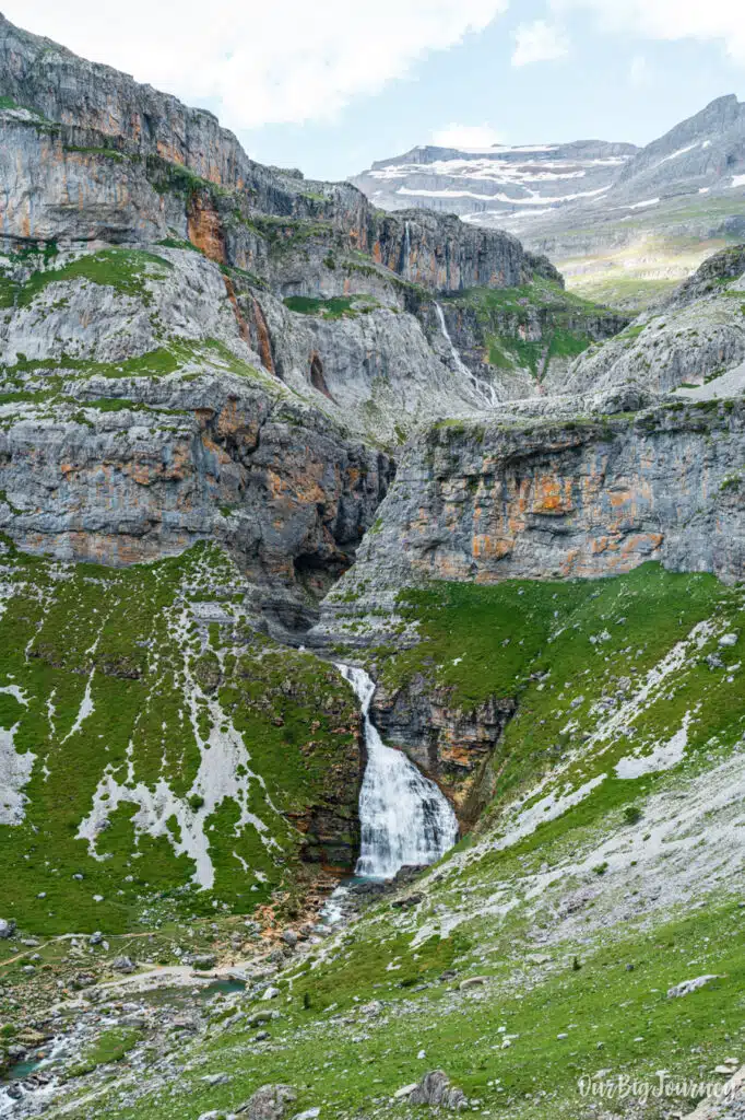
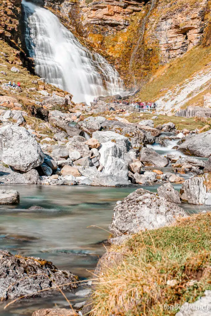
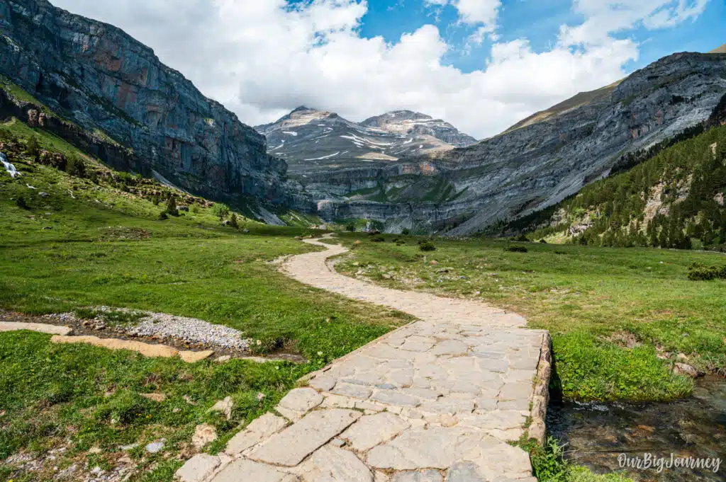
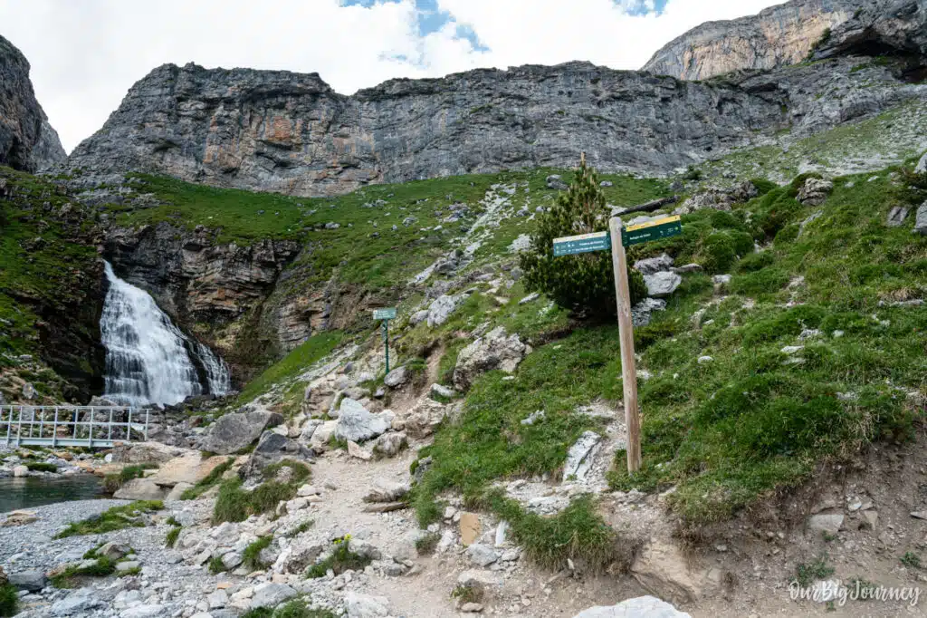
Probably the best part of the hike, where you understand why this hike is that unique. You’ll start to approach the end of the glacial cirque with epic views of the surrounding walls. Expect cows or sheep hanging around, small waterfalls or small streams falling from the sides, and tiny humans can be seen in the distance, at the end of a long and almost flat path of stones. At the end of this, after roughly 1 hour from Gradas de Soaso, the Cola de Caballo waterfall will appear. This wonderful cascade comes down from the melting of the peaks with a horse tail shape. That area is magical to rest, have lunch or just admire nature with a deserved break, before getting ready to go back to the parking.
Alternative paths and routes in Ordesa Valley
While the classic flat route to the Cola de Caballo waterfall is the most popular trek in the Ordesa Valley, the national park features spectacular alternative paths in case you want to extend the hike or do a loop-type one. These routes offer higher-altitude vantage points, dramatic canyon views, and escape from the crowds. I plan on doing more posts about these two routes with time with full detail, but for now:
The Faja de Pelay Route – Senda de los Cazadores
This is the ultimate alternative to the standard valley floor hike. Instead of walking in and out along the river, you turn your hike into a unique, high-altitude loop with magnificent landscape views.
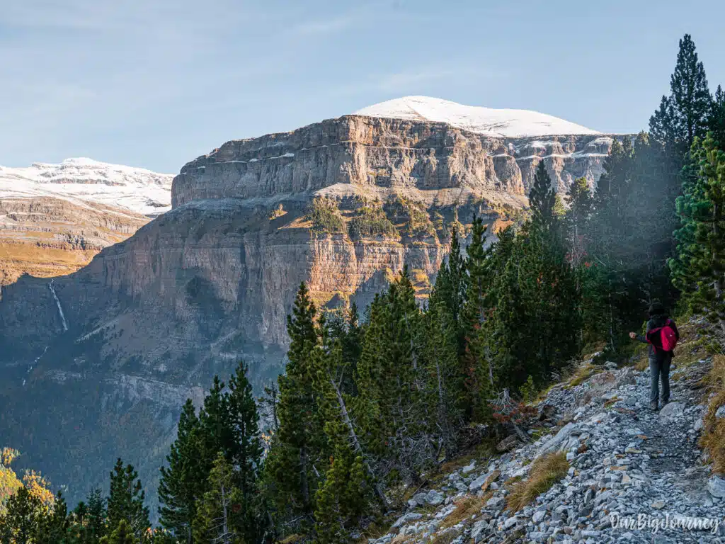
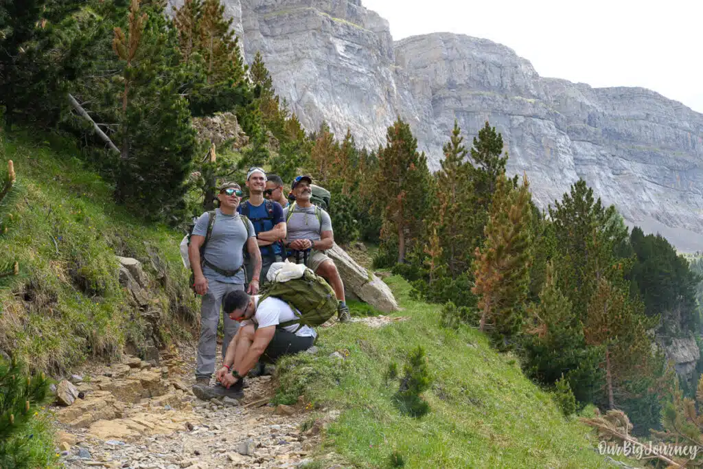
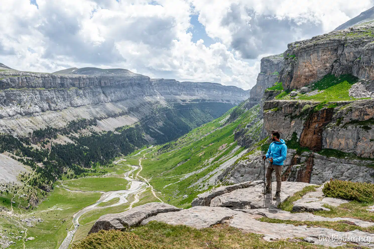
- The Route: Start at the Pradera de Ordesa trailhead and immediately tackle a steep, tiring zig-zag climb up through the forest known as the Senda de los Cazadores (Hunters’ Path). Once you gain 600 meters of elevation, you reach the Mirador de Calcilarruego viewpoint, which offers a breathtaking, vertical look down into the entire canyon. From there, you walk along the Faja de Pelay, a relatively flat, high-altitude path that contours the southern cliffside of the valley all the way to the Cola de Caballo. You then return via the gentle, standard valley floor trail.
- Difficulty: Strenuous / Hard. The initial 1.5 hour climb is incredibly steep and physically punishing. Even if you’re fit, this is heavy work. I can tell you… I’ve done it twice.
- Which direction to do it? I will talk more about this in a future post. But never do this route in reverse if there is snow or water from rain. Descending the loose shale of the Senda de los Cazadores is highly dangerous for your knees and carries a severe slip risk.
Refugio de Góriz – For longer adventures
Consider this as an extension of the Cola de Caballo hike, to do other alpine trekkings, more than an alternative path. From Cola de Caballo, there are two ways to reach the mountain hut Refugio de Góriz. The Góriz Refuge is located at 2200 meters and serves as the primary base camp for summiting Monte Perdido. It’s a very in-demand hut, so make sure you book online with enough time before planning a hike.
- The Route: To reach it from the Cola de Caballo waterfall, you must climb the steep headwall of the Ordesa Valley, which takes about 1.5 to 2 hours of demanding uphill hiking. From the waterfall, you have two choices: hikers can either scramble up the short, exposed Clavijas de Soaso (a steep rock section equipped with iron pegs and chains) or take the safer, longer Senda de las Mulas detour that zigzags up the slope to the right. Both paths merge at the top of the canyon rim, leading you through an open, rocky karst landscape directly to the refuge.
- Difficulty: Demanding through Senda de las Mulas. Technical if you opt for Claviers de Soaso.
- Bonus point: The views of Ordesa from the top are wonderful. One of the best postcards I’ve seen in my life.
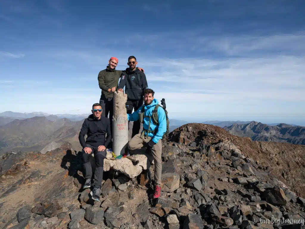
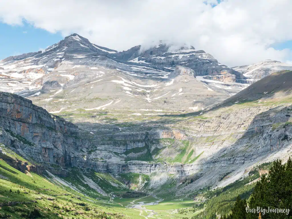
Want to go even higher? Then try the summit of Monte Perdido. A +3000 summit that is the ultimate extension of the hike. Absolutely beautiful!
The Faja de las Flores Route – True alpine experience
For experienced hikers looking for adrenaline, this is widely considered one of the most spectacular day hikes in Spain for insane views.
- The Route: This path takes you along an incredibly narrow, natural stone shelf carved high into the northern vertical cliffs of the valley. To access it from the Pradera trailhead, you must ascend via the Clavijas de Cotatuero, a series of extremely exposed iron pegs driven directly into a sheer vertical cliff face over a waterfall drop-off. Later you traverse the jaw-droppingly narrow ledge for several kilometers before descending via the Clavijas de Carriata or the Fajeta path.
- Difficulty: Expert / Technical.
- Safety Warning: A full ferrata kit is highly recommended for the vertical iron peg (clavijas) sections. This route requires a complete lack of vertigo, stable mountain weather, and solid alpine experience.
Comparison at a Glance of the hikes in Ordesa Valley
| Route Name | Total Distance | Approx. Duration | Elevation Gain | Key Highlight | Best For |
|---|---|---|---|---|---|
| Standard Valley Floor | ~17.5 km (In-and-out) | ~6 hours | ~500 m | Waterfalls & Beech Forests | Families & Casual Hikers |
| Faja de Pelay – Senda de los Cazadores | ~19 km (Full Loop) | ~7 hours | ~800 m | Viewpoint & vistas | Fit Hikers looking for Vistas |
| Faja de las Flores | ~16 km (Full Loop) | ~7 hours | ~1,100 m | Sheer Cliff Ledges | Experienced Mountaineers |
Where to Stay to do Cola de Caballo hike
The best town to stay in for the Cola de Caballo hike is Torla-Ordesa, located right at the gateway to the Ordesa sector of the National Park. Broto and Oto are also nice towns to stay next to Torla and even Fiscal. All the region is wonderful and the stores and food options are great.
Final Thoughts
The hike to Cola de Caballo is, without exaggeration, one of the best walks you can do in Spain. It can be long for some people but the combination of waterfalls, glacial valley scenery, and the dramatic final approach to the cascade makes every kilometer worth it. The best thing? You can do it in different seasons during the year and there are alternative paths to make longer or modified hikes. Plan around the parking and bus logistics, start early, bring enough food and water, and you’ll have one of the best hikes in the Pyrenees.
Explore other places in The Pyrenees