Monte Perdido Hike from Ordesa: Epic adventure in the Pyreneses
By Roberto (Jul 2026)
⏱️ 7 min
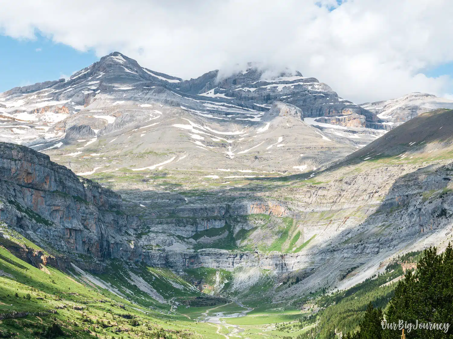
At 3,355 metres, Monte Perdido is the third highest peak in the Pyrenees and the tallest limestone massif in all of Europe. It sits at the head of the Ordesa Valley, and the classic route to its summit is one of the great mountaineering days in Spain. This is not a casual walk. It’s a serious 2 day trek with certain exposure near the top, and it deserves proper planning.
This guide covers what the Monte Perdido hike actually involves from Pradera de Ordesa and overnighting at Refugio de Góriz: the basic stats, the difficulty, the notorious final stretch known as La Escupidera, what to pack, and the practical details that make the difference between a great summit day and a bad one.
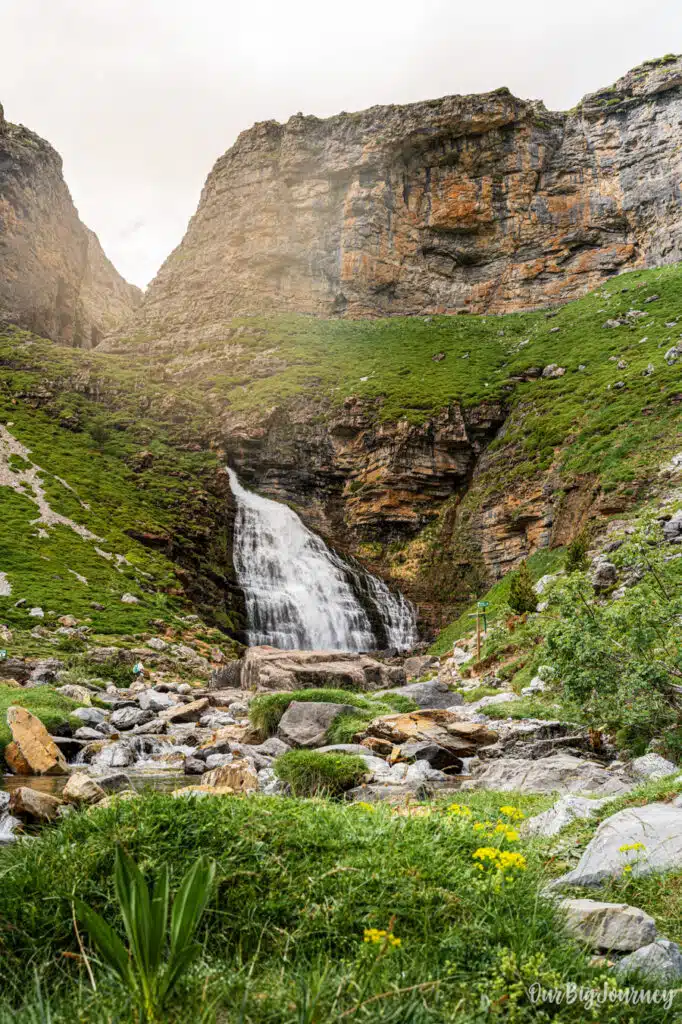
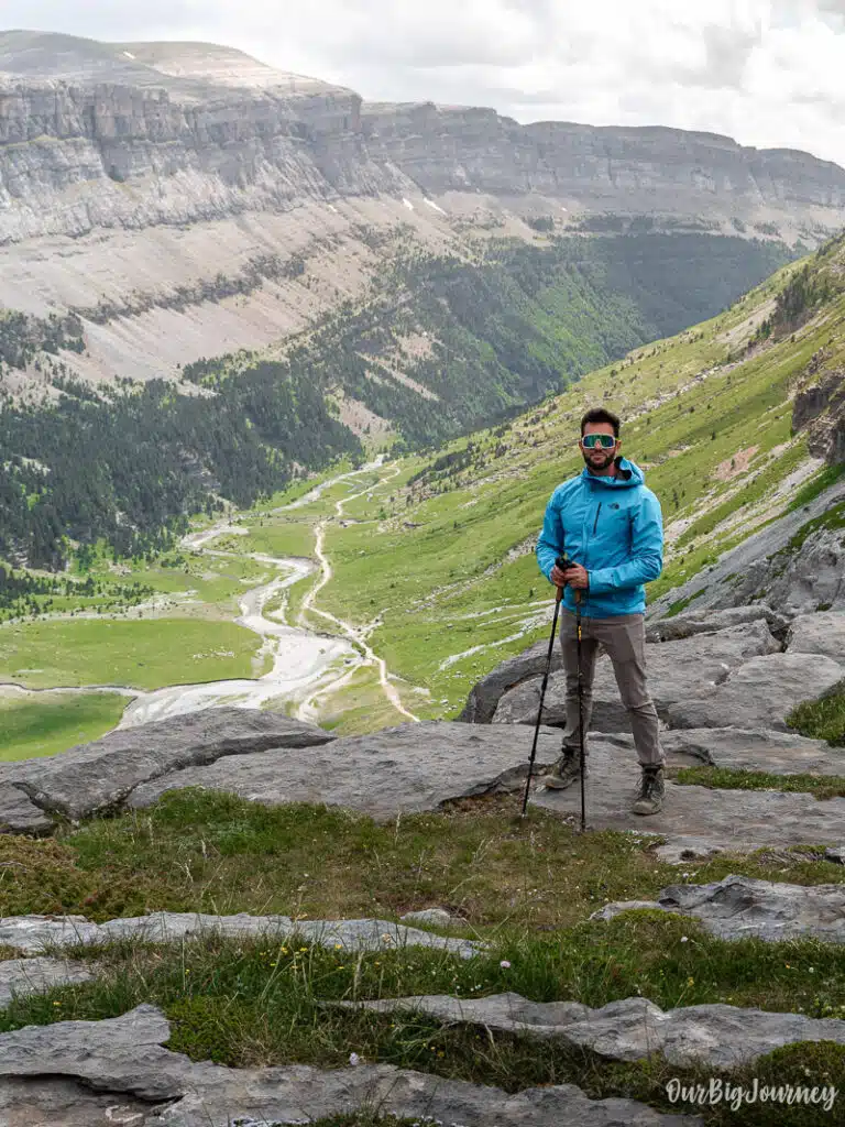
Table of Contents
Basic info of Monte Perdido hike
- Location: Ordesa y Monte Perdido National Park, Huesca, Aragón
- Starting point: Pradera de Ordesa car park (around 1,300 m)
- Overnight stop: Refugio de Góriz (2,200 m) reservation with time is mandatory
- Summit: Monte Perdido, 3,355 m
- Total distance: Roughly 16 km one-way from the Pradera to the summit, closer to 20 km if measured from Góriz round trip
- Total elevation gain: Over 2,000 m from the Pradera to the summit
- Duration: Best split over 2 days: day one to Góriz, day two to the summit and back down to the Pradera (some strong hikers do it all in one very long day, but two days is the sane approach)
- Difficulty: Difficult. This is a mountaineering route, not an easy hiking trail, especially above the Ibón Helado (Frozen Lake)
- Best season: June through September, once the snow has mostly cleared from the upper sections
- Refugio de Góriz: Book ahead in summer, it fills up fast and is the only realistic base for the ascent
How difficult is it, really?
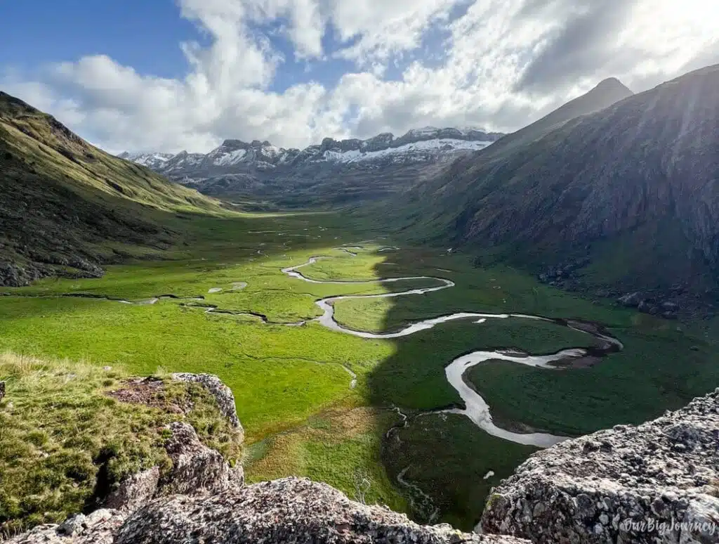
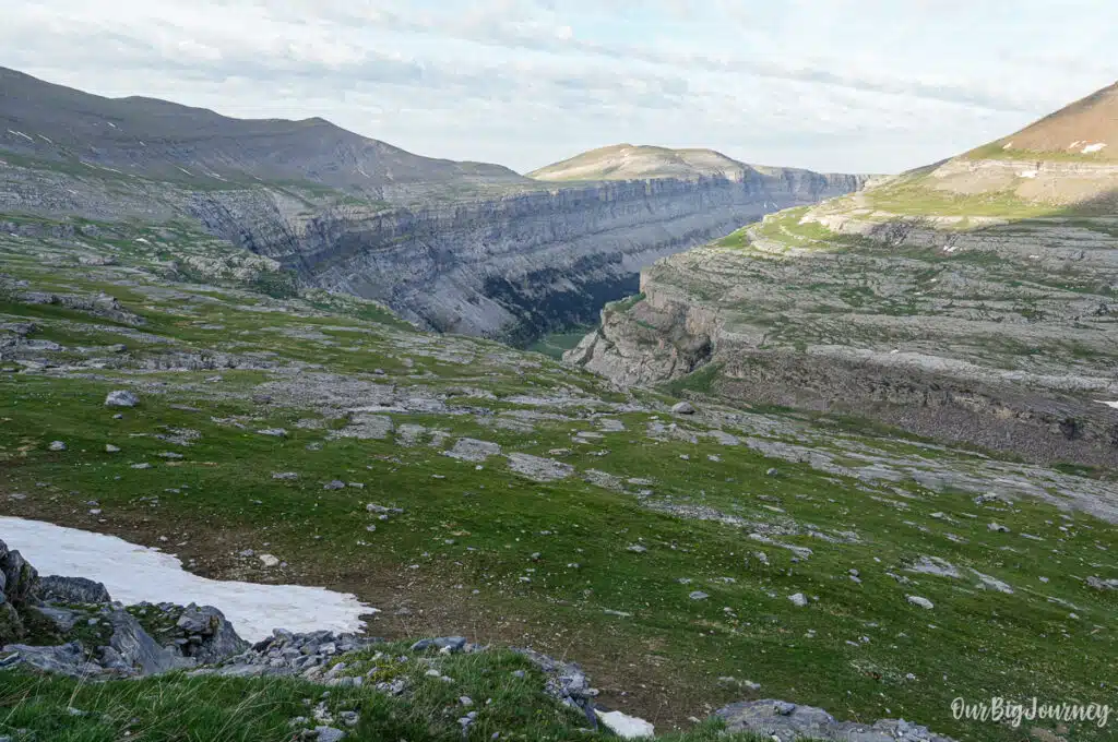
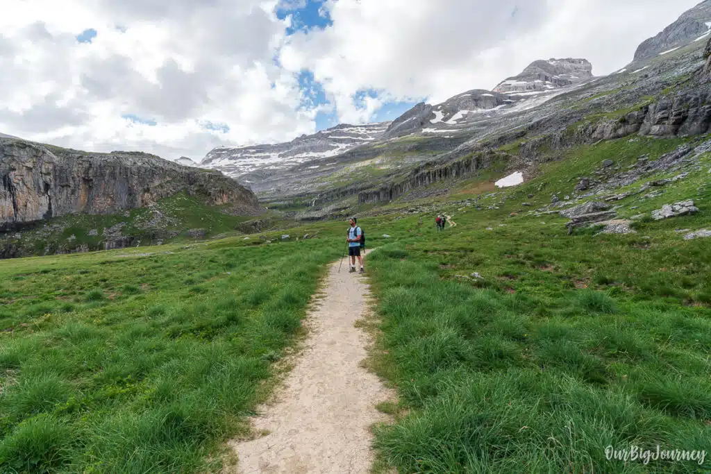
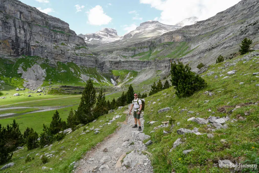
The walk from the Pradera to Góriz is quite approachable (more like a long walk) through the Ordesa Valley. Past the Cola de Caballo waterfall and after gaining altitude the hike becomes more difficult but not technical, until reaching the Refugio de Góriz.
Summit day is a different sport entirely. From Góriz, the trail climbs through rocky, largely trackless terrain marked by stone cairns, past a short section with a chain handhold that can get slippery when wet, and on toward the Ibón Helado. This is where the real difficulty begins.
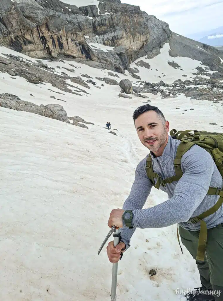
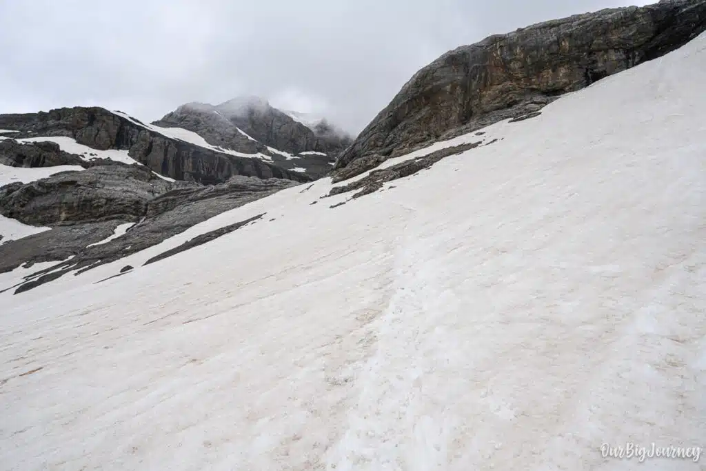
Above the frozen lake, the route hits a well-known technical pinch point: La Escupidera. This slope has seen more deaths than any other part of the Pyrenees. La Escupidera (the spitter) is a steep, loose couloir that climbs the final stretch to the summit ridge. Depending on conditions, it can carry snow well into July, in which case crampons and an ice axe are non-negotiable. When it’s snow-free, is a hard steep slope that is difficult to walk on, but not that dangerous.
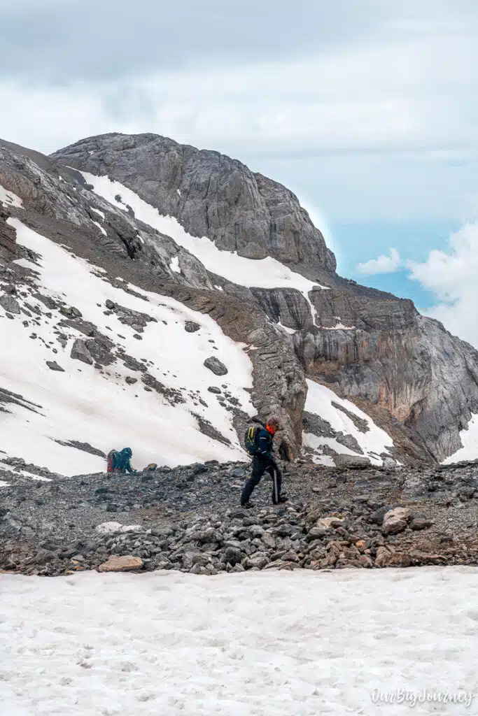
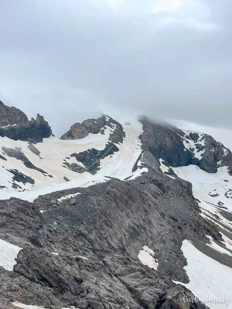
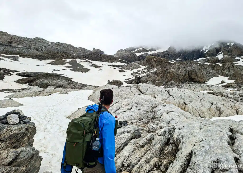
Fog is a real hazard too. The upper terrain, sometimes nicknamed “the stone city” for its maze of rock, is easy to lose your bearings in in poor visibility, and GPS is genuinely useful up there, not just a backup.
In short: day one is a pleasant valley walk, day two is a full alpine ascent. Fitness, sure footing, and comfort with exposure matter far more than raw hiking experience.
Route description
Day 1: Pradera de Ordesa to Refugio de Góriz
For the first day consider minimum 5-6 hours of hiking from Pradera de Ordesa to Refugio de Goriz, The route to the hut can be done either through the valley (the normal hike) or going up with the Senda de los Cazadores. We have dedicated posts for each of these two hikes until the Cola de Caballo.
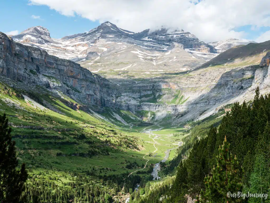
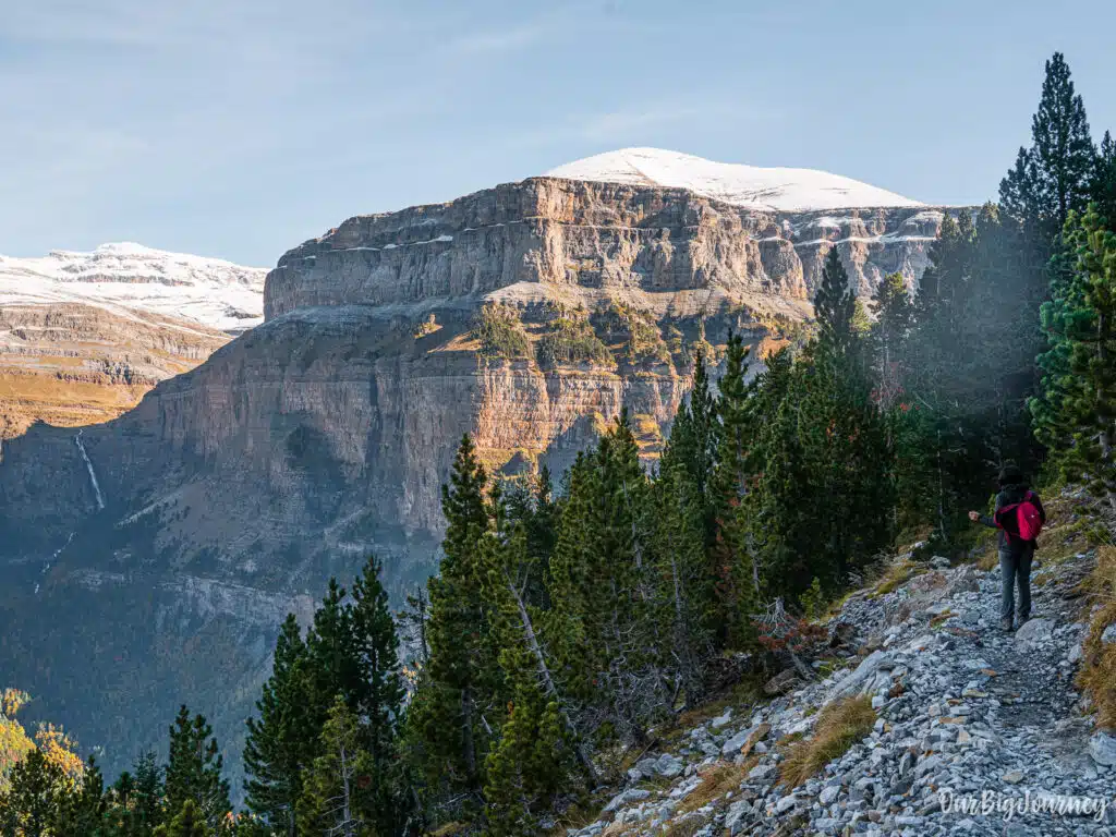
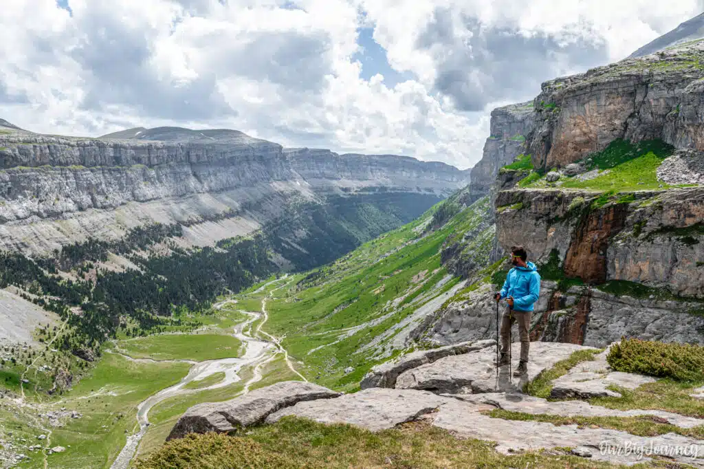
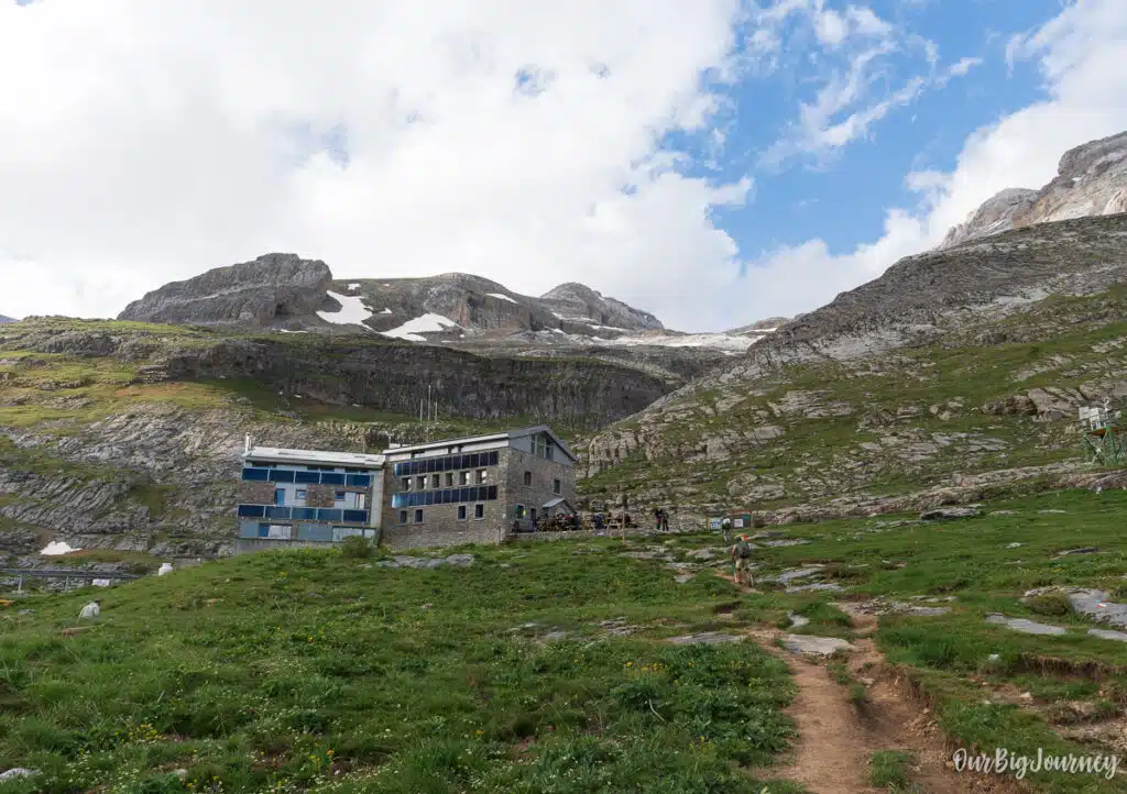
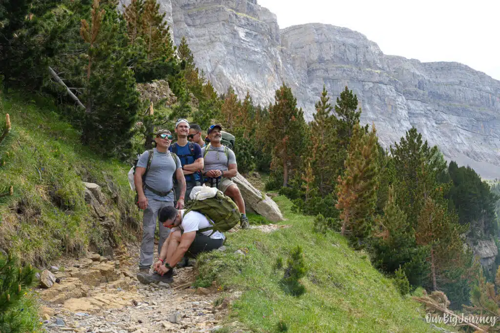
Once you’re near Cola de Caballo, it’s time to make things harder, going up to reach the Refugio de Goriz. The hike turns more alpine and the views are gorgeous in every moment. Even if you don’t go all the way up to Monte Perdido, the visit to Goriz is mesmerising. Absolutely recommended.
Day 2: Góriz to the summit of Monte Perdido
First things first: in the morning, you talk to your group to check how everyone is doing. When we did this, we were 6 and 5 of us decided to go up. I find it mandatory to encourage people in the group but never force anyone to climb a summit if they do not feel like doing it. It’s a personal choice.
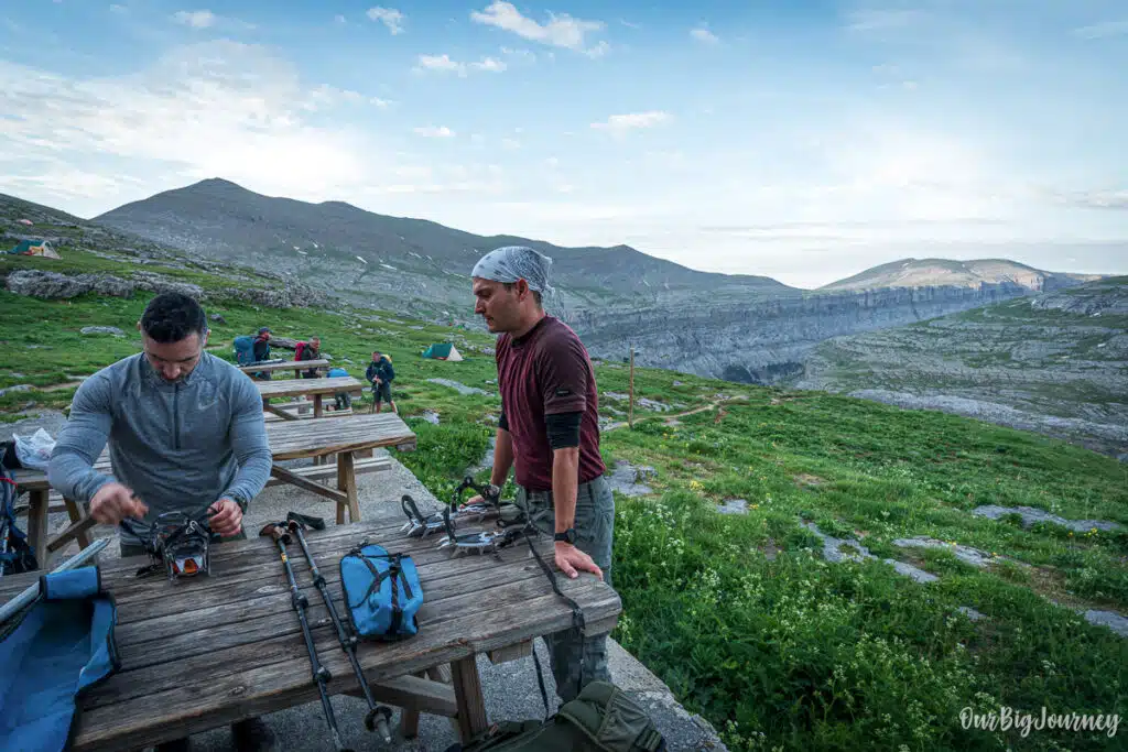
Leaving early is advised, since this is a long day and afternoon storms are common in summer. We had a 7:30 breakfast a received a masterclass of crampons by our friend Javi The Sherpa. Around 8 we started our way up with good weather conditions.
The trail heads out on a diagonal climb past a series of small rocky steps, guided by cairns, then skirts the base of the cliffs between Monte Perdido and El Cilindro. A short, easy scramble follows, which can be slick when wet.
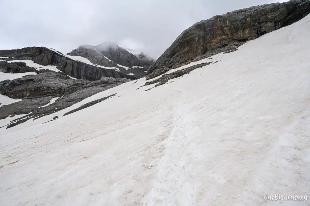
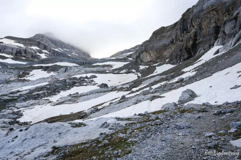
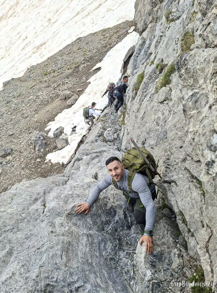
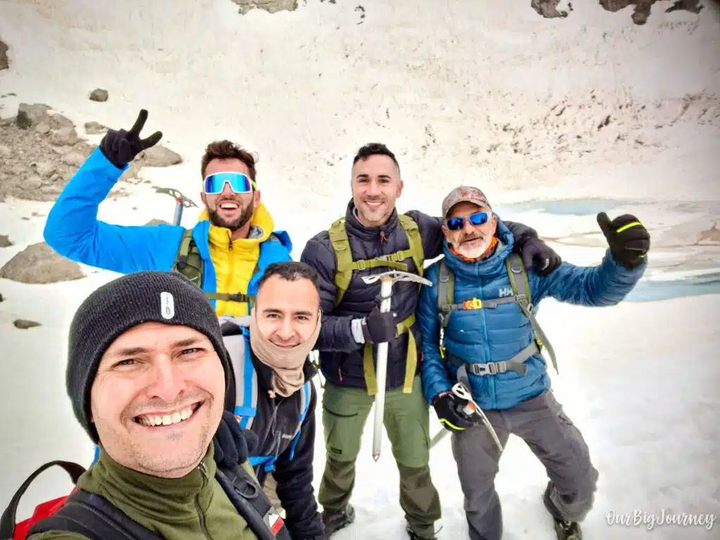
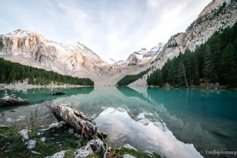
The trails keeps going up, for us, with ice and snow, and after roughly two hours from our start, we reached The Ibón Helado, where we stopped to have a small almuerzo. This area at 3000 metres is the natural staging point before the final push. That weekend I was feeling like absolute sh*t, due to a medical condition. When I saw the Escupidera, foggy on the top, windy and really cold… I thought “I have 0 interest in going to the summit” and told my friends, who thought I was kidding, but no… haha.
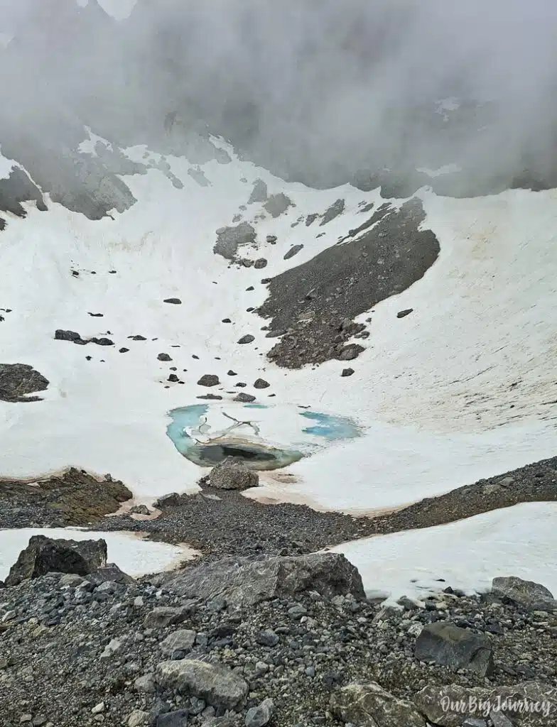
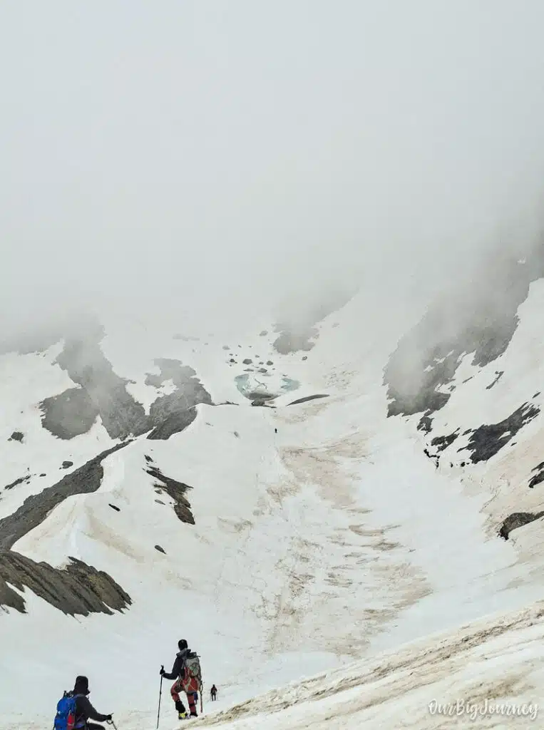
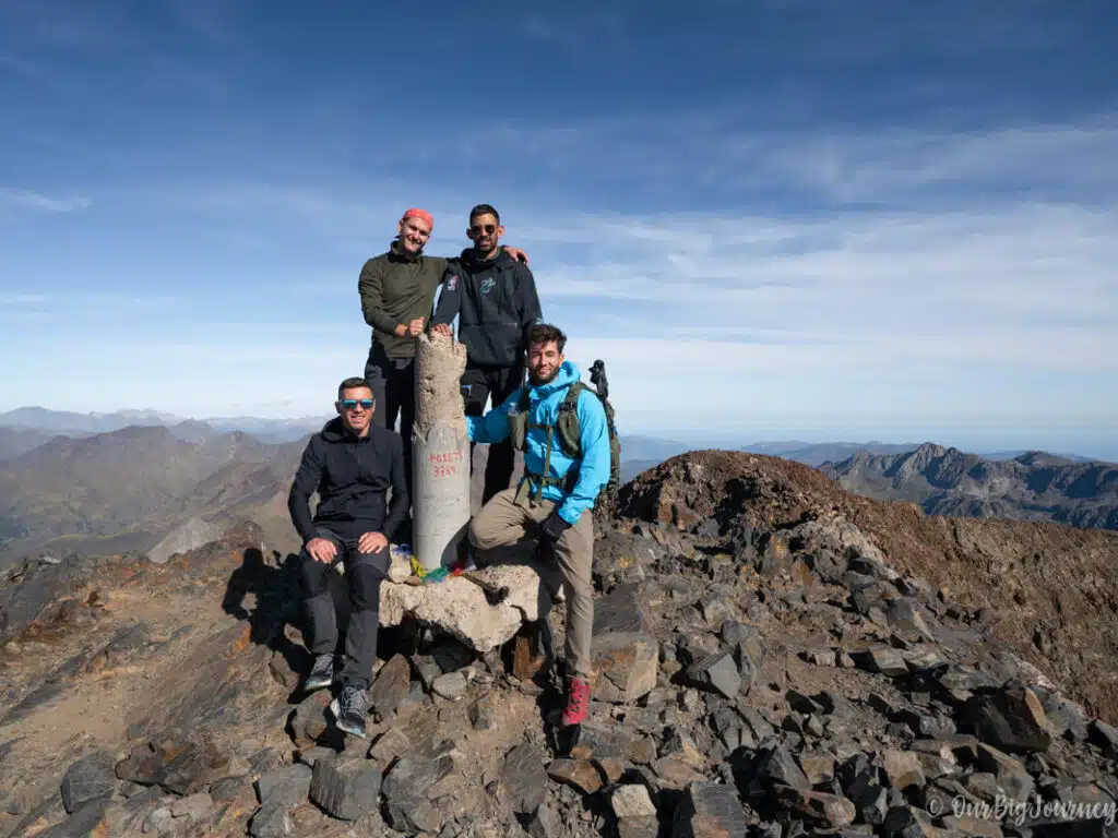
I felt really weak to face La Escupidera, and I’m glad I made that decision. The 4 remaining went with decisiveness and strength from the lake, toward the final and steepest section before the summit ridge. You have to take it slow, testing your footing, and don’t rush the loose sections. They told me it was insanely hard in those conditions. And I trust them well.
The summit. From the top of the escupidera, it’s a short walk to the summit of Monte Perdido, with panoramic views across the Tres Sorores massif, the Cirque de Gavarnie, and back down into the Ordesa and Añisclo valleys. That day, it was all foggy and there were no views at all. I’m happy for these warriors who finally made it 💪🏼
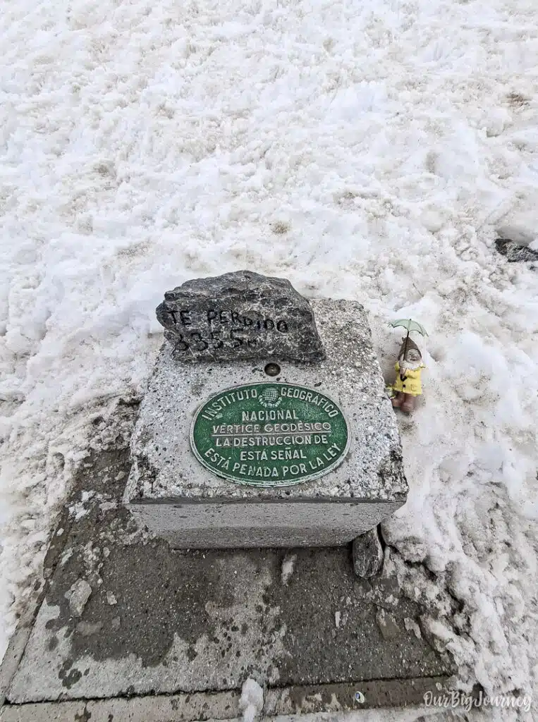
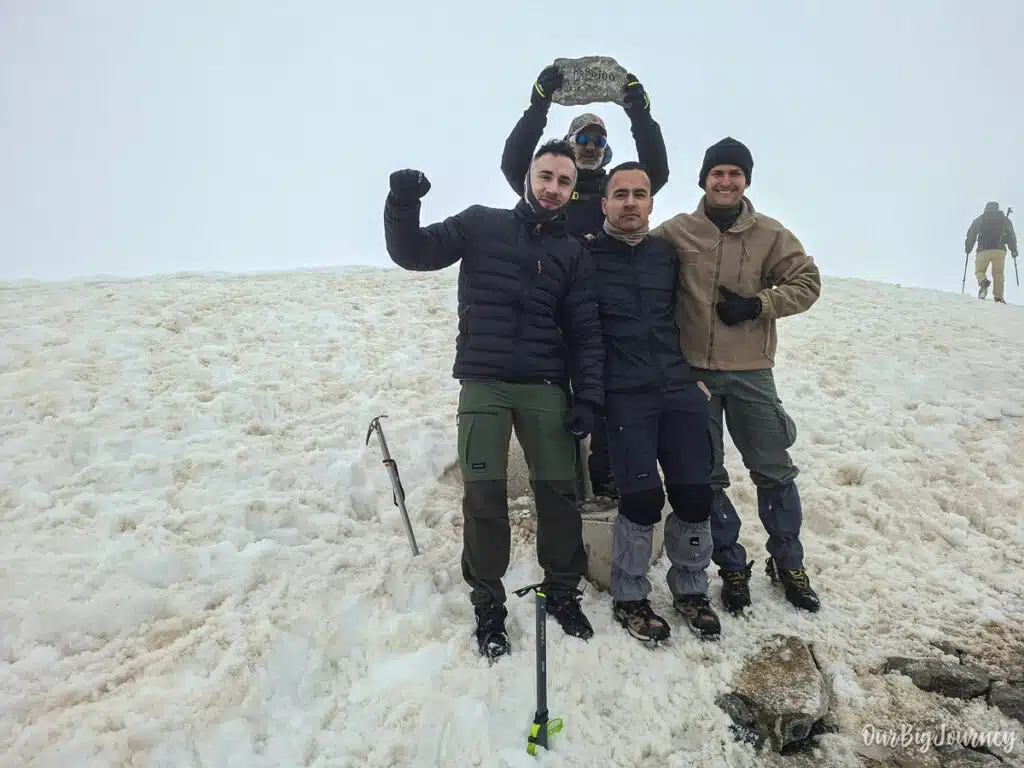
Descent. With special attention to La Escupidera, return the same way to Góriz, then continue down to the Pradera de Ordesa, or stay a second night at the refuge if you’d rather split the descent. If you do it in one day like us, remember this day can be like 10-12 hours of active hiking.
What to bring
- Crampons and an ice axe. Essential if snow or ice remains on La Escupidera, which can happen well into summer depending on the year. Call the Góriz refuge ahead of time to check current conditions. Helmet optional. You can rent all the equipment with them at the hut.
- Trekking poles. Optional, useful on the scree sections and for the long descent.
- Warm layers. Weather changes fast above 3,000 m, even in summer. I was underprepared for the summit with three normal layers.
- GPS or a detailed map. Cairns mark the way, but fog can make navigation difficult in the upper sections.
- Plenty of water and food. There’s no reliable water source between Góriz and the summit.
- An early start. Afternoon storms are common in the high Pyrenees in summer, and you don’t want to be on exposed terrain when one rolls in.
- A refugio reservation. Góriz is small and popular. Book ahead, especially for weekends in July and August.
- Cash for the refugio. Just in case. They didn’t accept card when we were there.
Final tips
Check conditions at Góriz before you commit to the ascent, not after you’ve already started climbing. The refuge staff know the current state of La Escupidera better than any trip report. Don’t underestimate day one just because it’s “only” the approach; arriving at Góriz tired makes summit day much harder. And if the weather looks unstable, it’s worth waiting a day at the refuge rather than pushing on. This isn’t a route to gamble on.
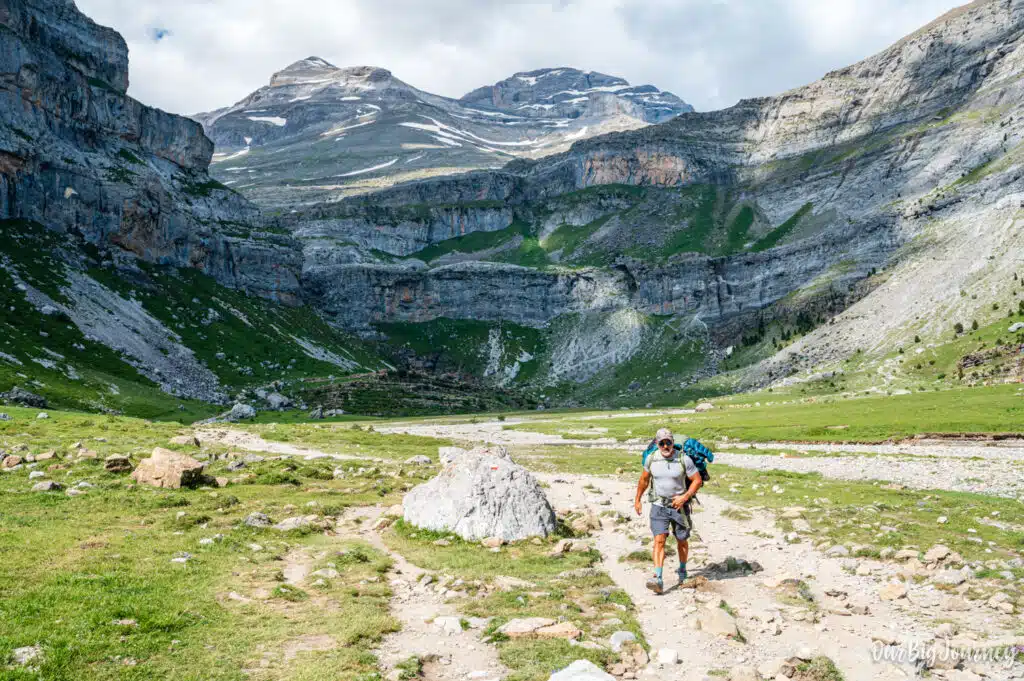
The Monte Perdido hike rewards serious preparation with one of the best summit views in the Pyrenees. Treat it as the alpine route it is, not an extension of a valley walk, and it’s an unforgettable two days in the mountains.
Explore other places in The Pyrenees